Field Observations
Field observations are a key element of hydraulic engineering and complementary to laboratory work and numerical modelling. Several advanced field measurement methods are available to support hydraulic engineering and research.
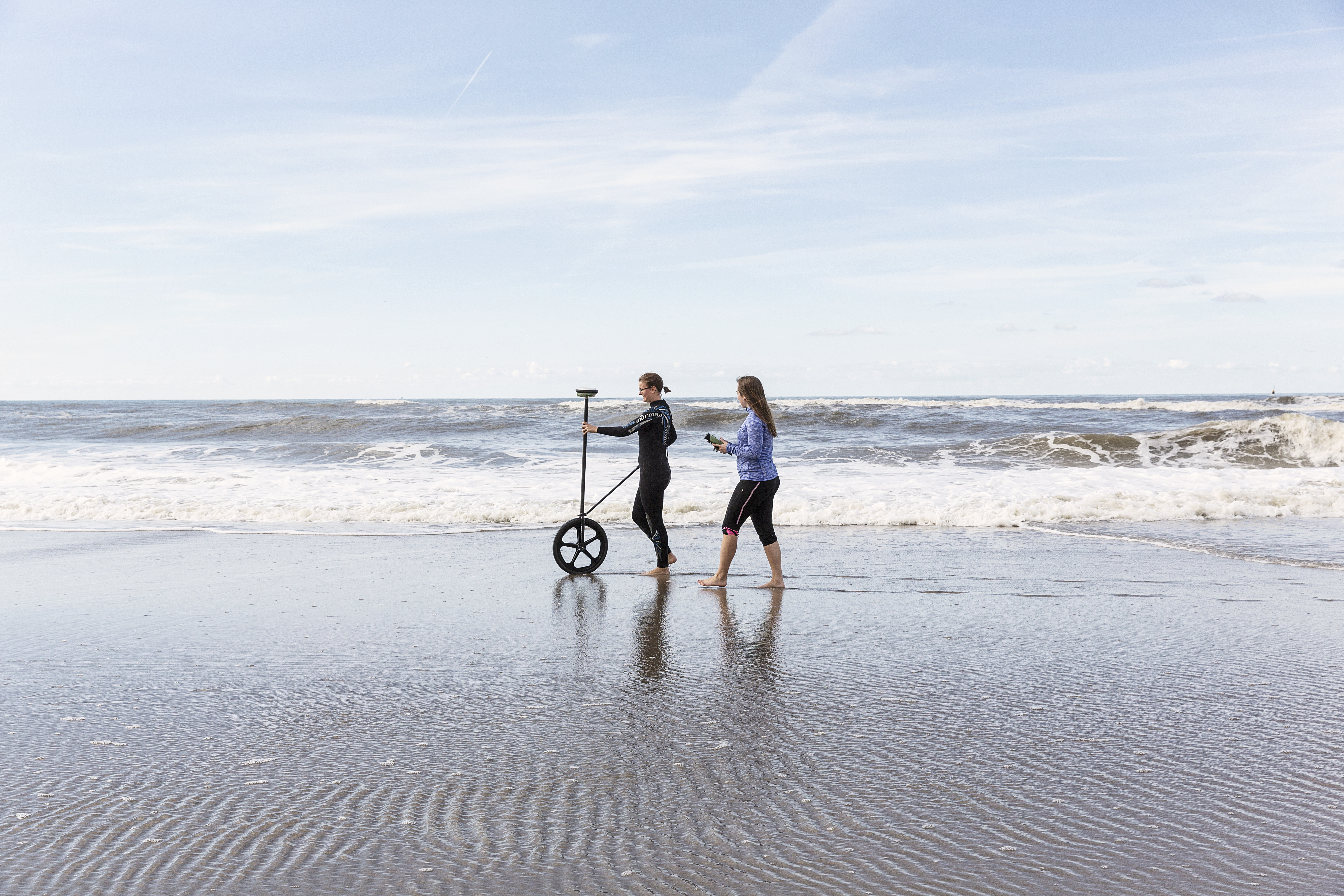
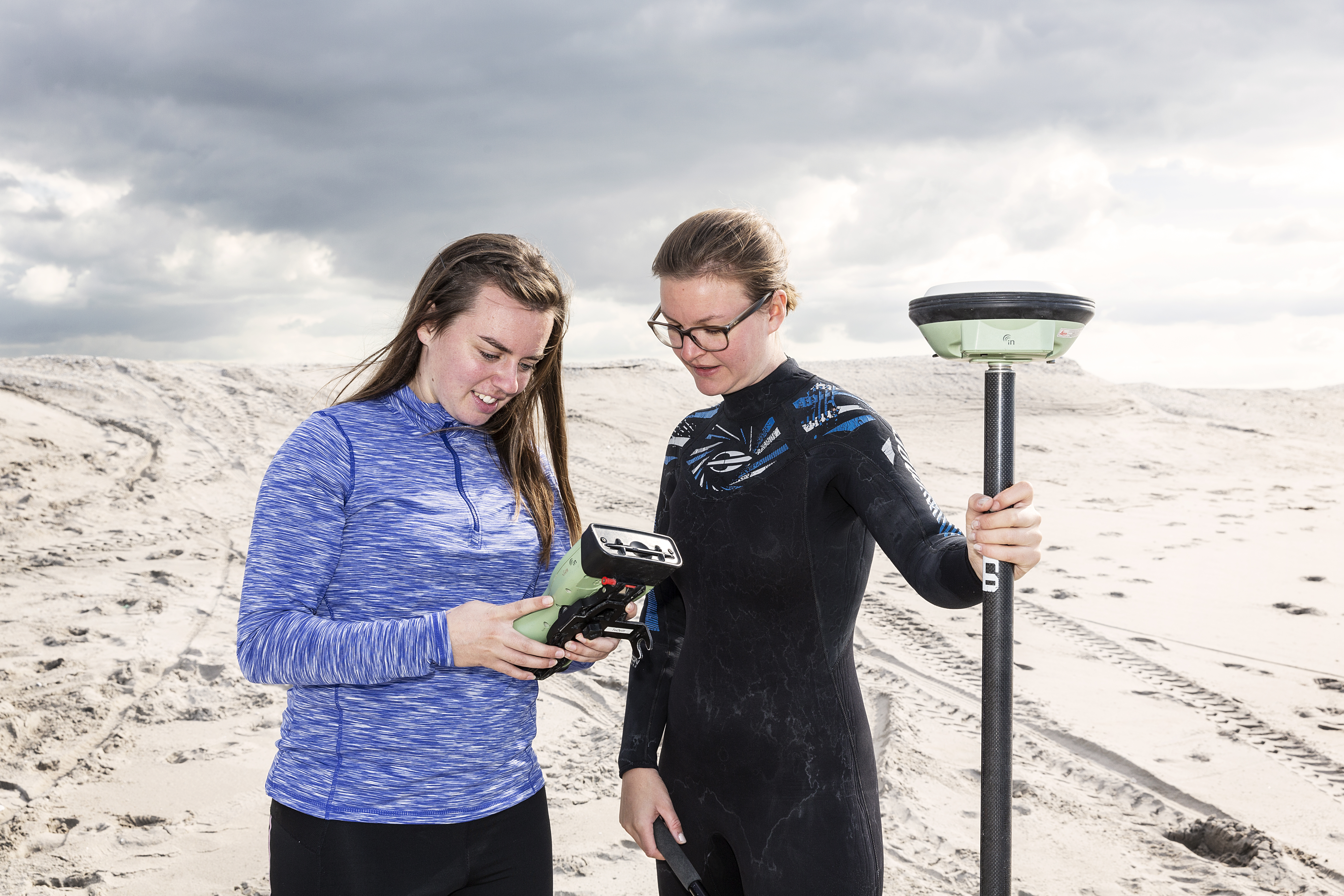
RTK GPS
High precision GPS devices are used to obtain observations of bed levels. Centimeter level accuracy is obtained through collaboration with LNRnet.
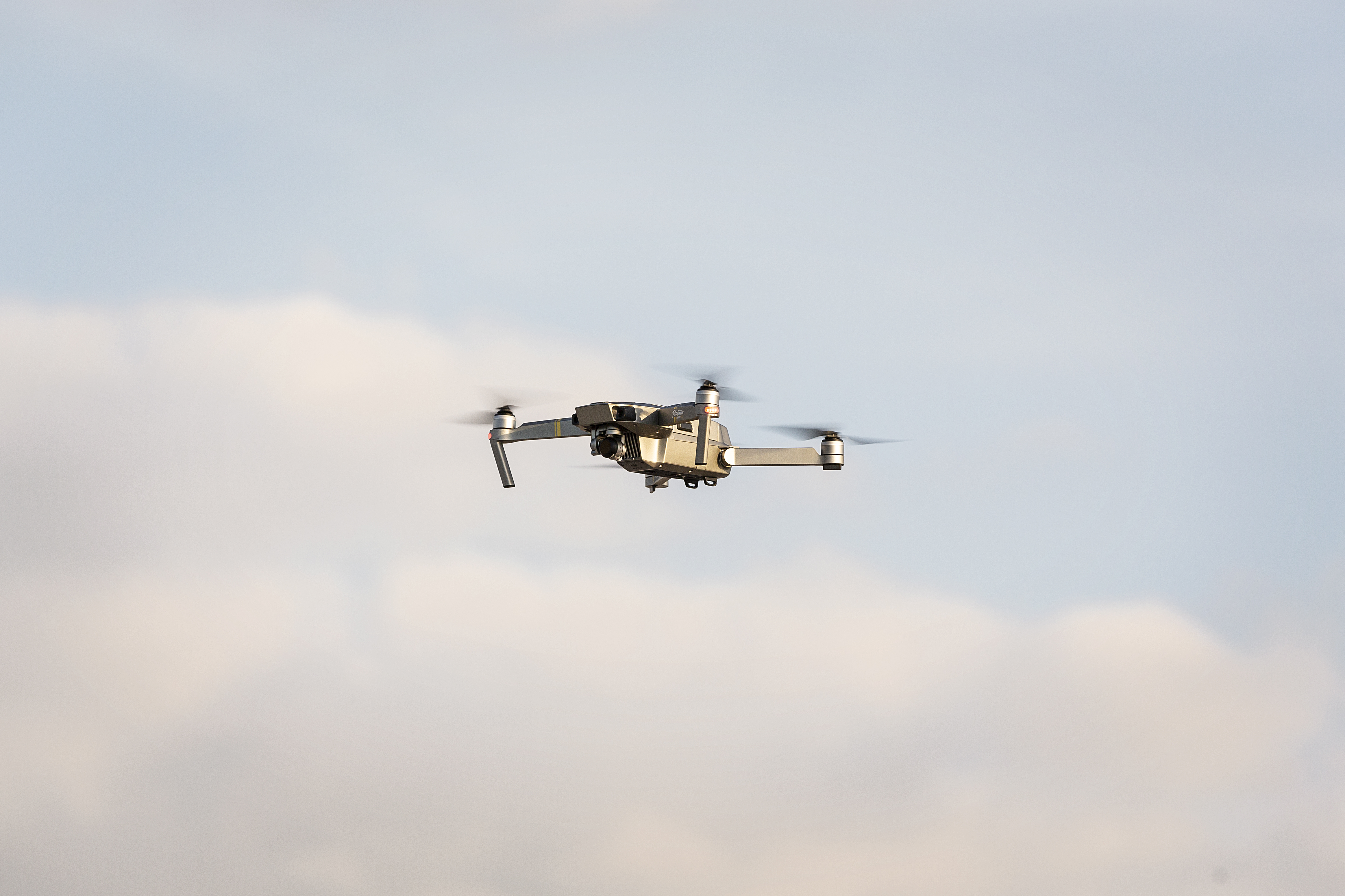
Unmanned Aerial Vehicles (Drones)
Drones provide an unprecedented view of hydraulic engineering research projects. Several DJI drones (Mavic Pro, Phantom Pro) are available in combination with UgCS planning software. Drone imagery date is used for photogrammetry surveys or to obtain video images of waves and currents close to shore.
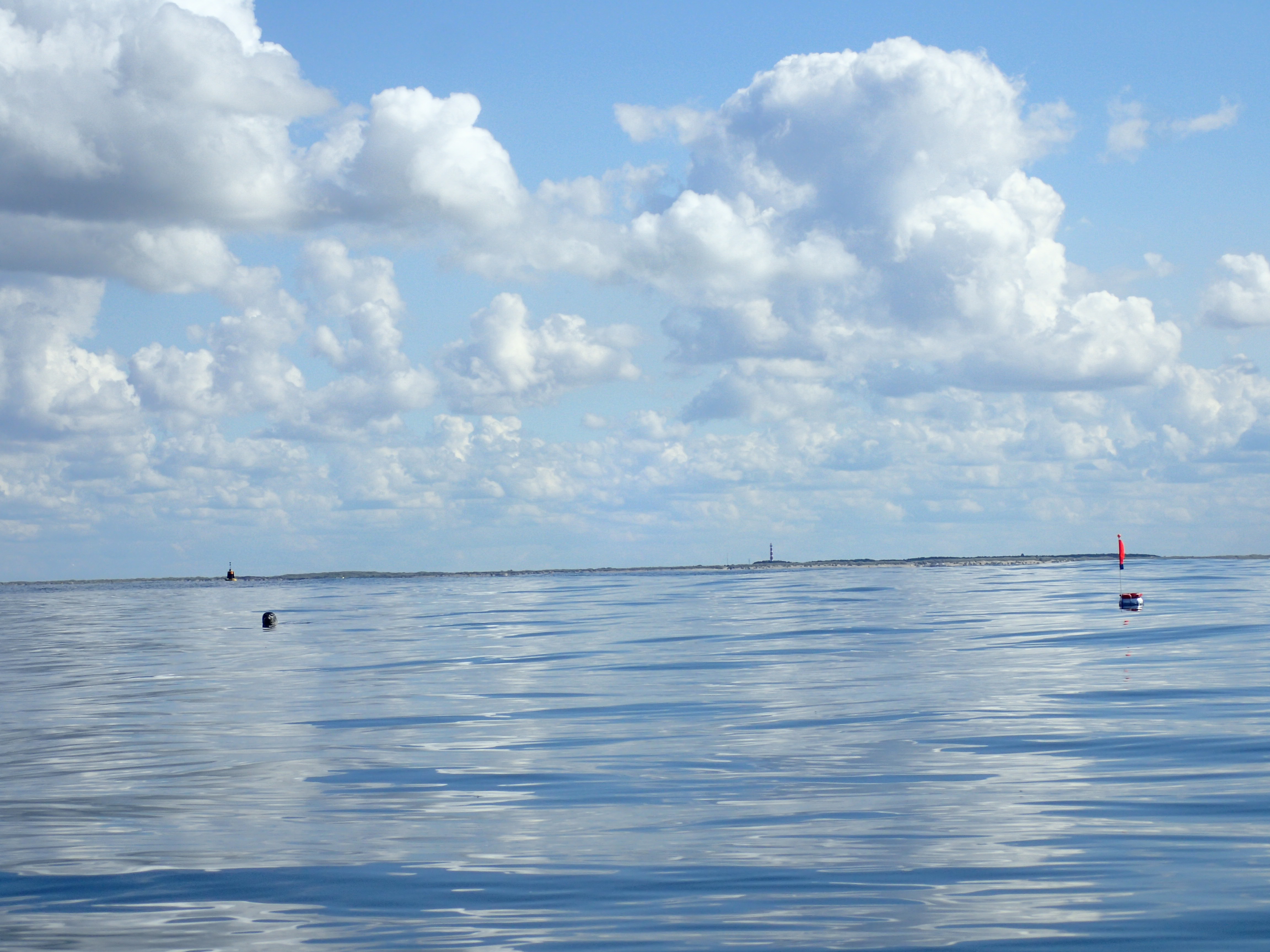
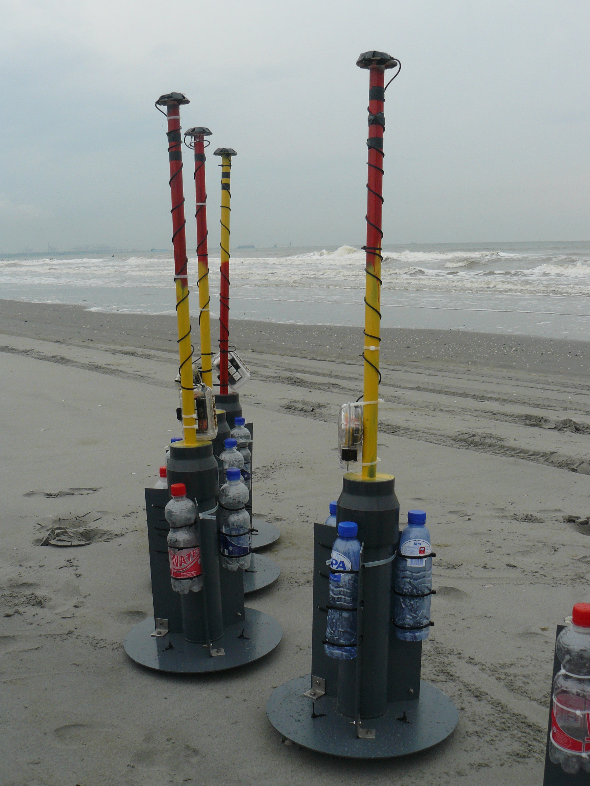
GPS Drifters
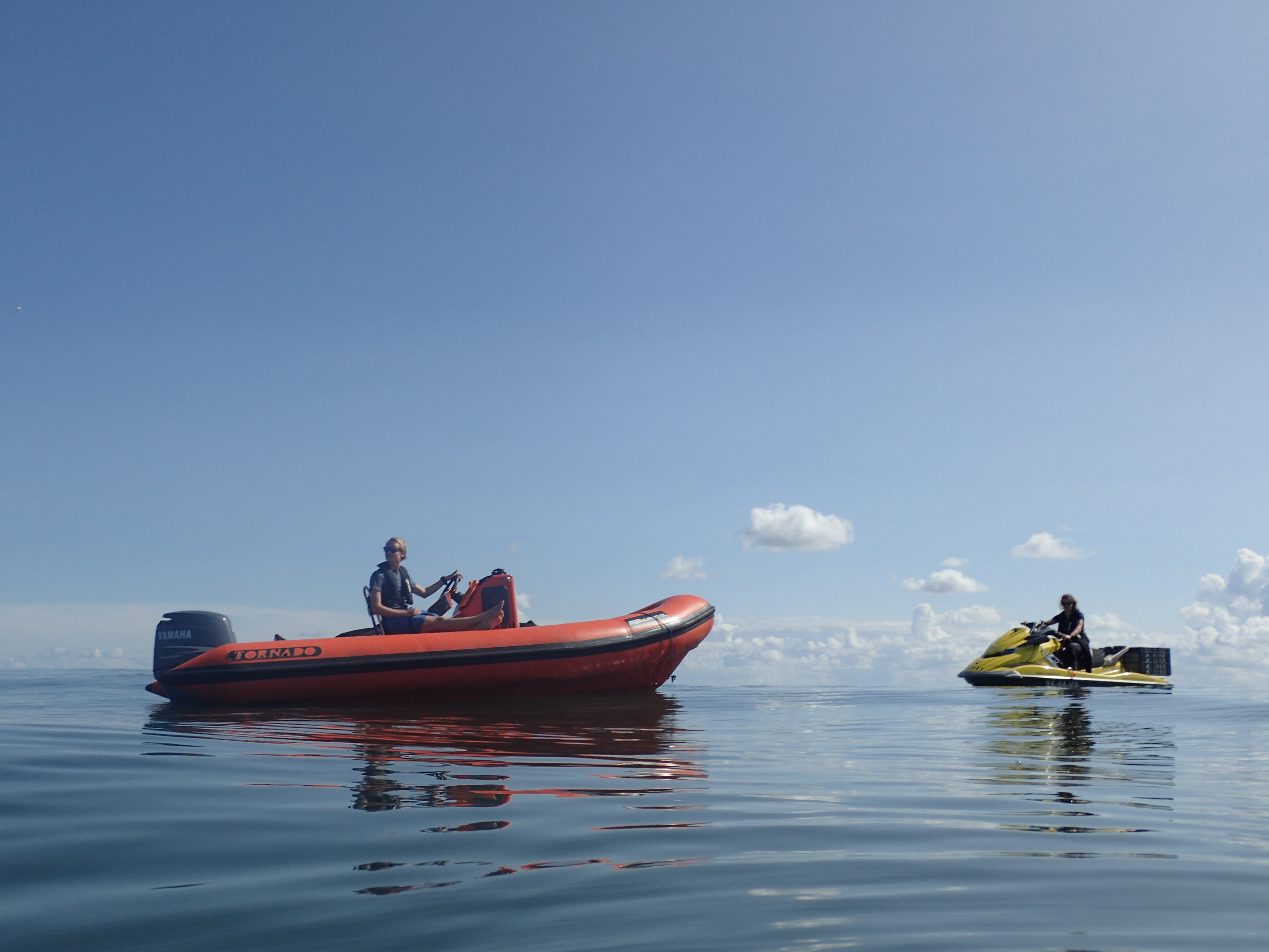
To current speed in challenging environments (Rip current, ebb tidal flow) we use GPS drifter buoys. These buoys float freely with the surface flow while recording their trajectory. The results have been used also in swimmer safety studies.
NEMO waverunners.
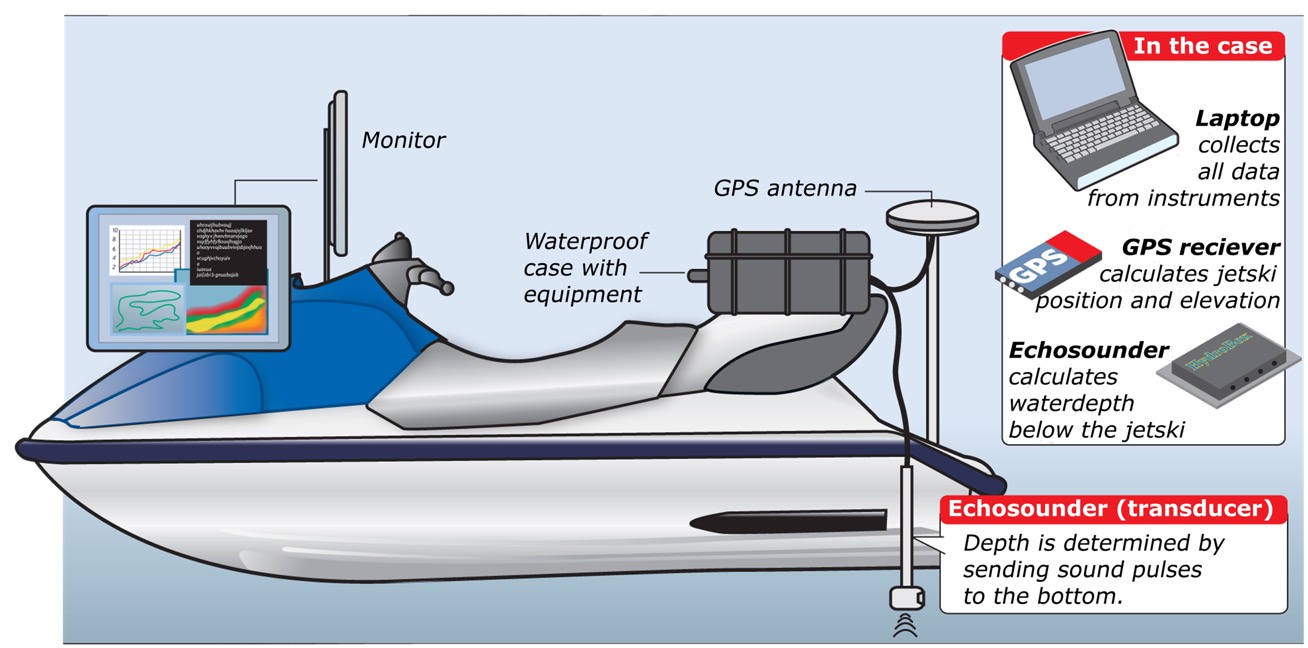
Waverunners (jetski’s) are convenient small mobile platforms to work in small waterdepths and waves near the coast. We use the NEMO waverunners to perform bathymetric surveys and retrieve GPS drifter buoys. For the bathymetric surveys it is equipped with a single beam echosounder and a GPS system and in collaboration with Hypack acquisition software.
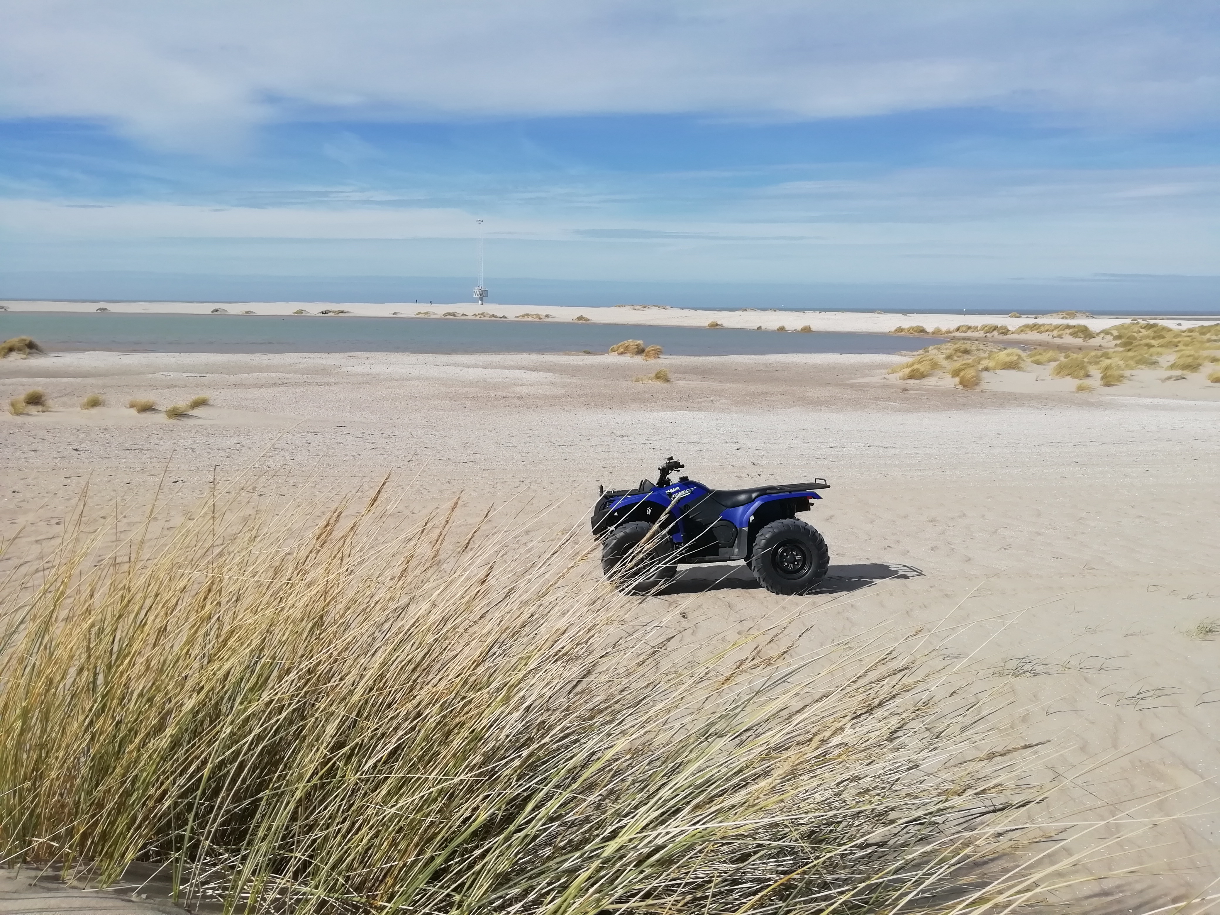
Quad/ATV
To measure topography on the beach and move equipment around we have an All Terrain Vehicle.
Other scientific instruments
A suite of different scientific instruments are available to obtain accurate measurements of flow, waves and sediment transport. Amongst others:
- Nortek ADCPs & ADVs
- Marine Electronics 3d Ripple Scanning Software
- RBR solo waveloggers
- OceanSensor OSSI
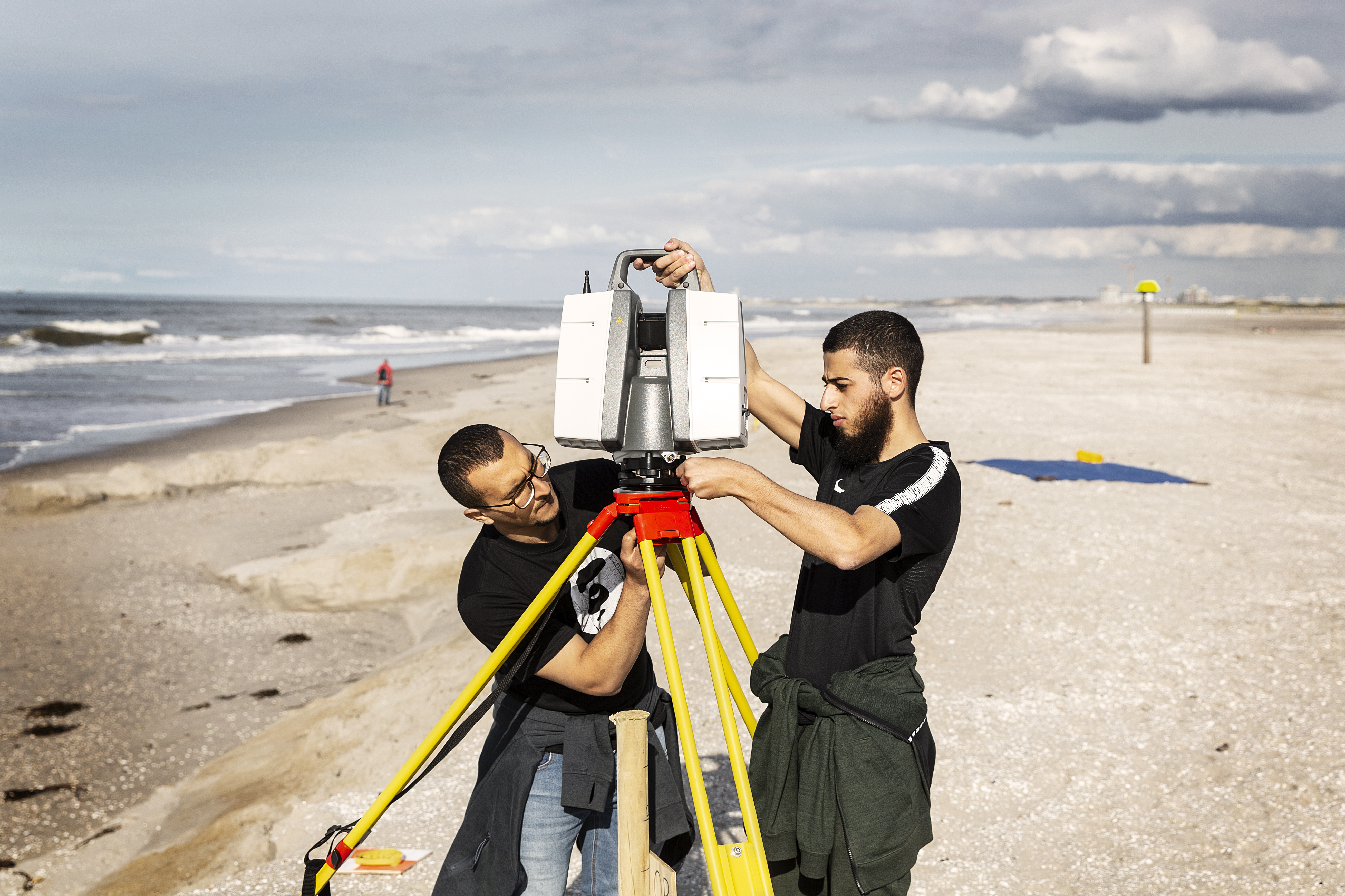
- Riegl Laser Scanner
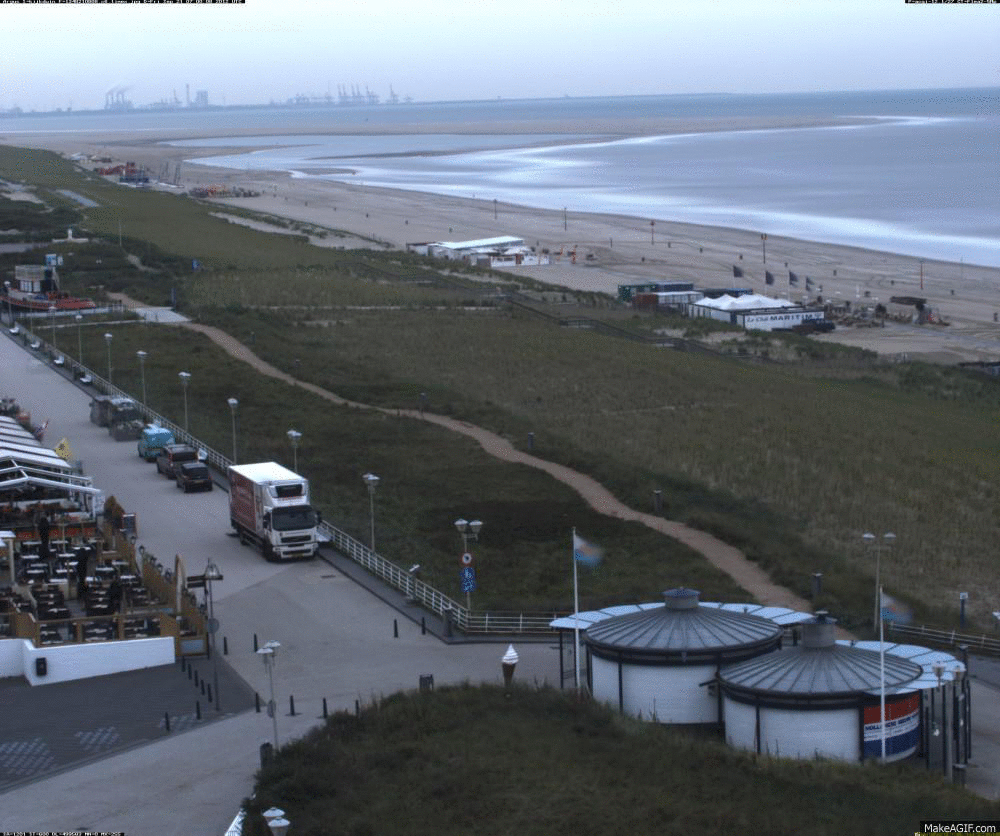
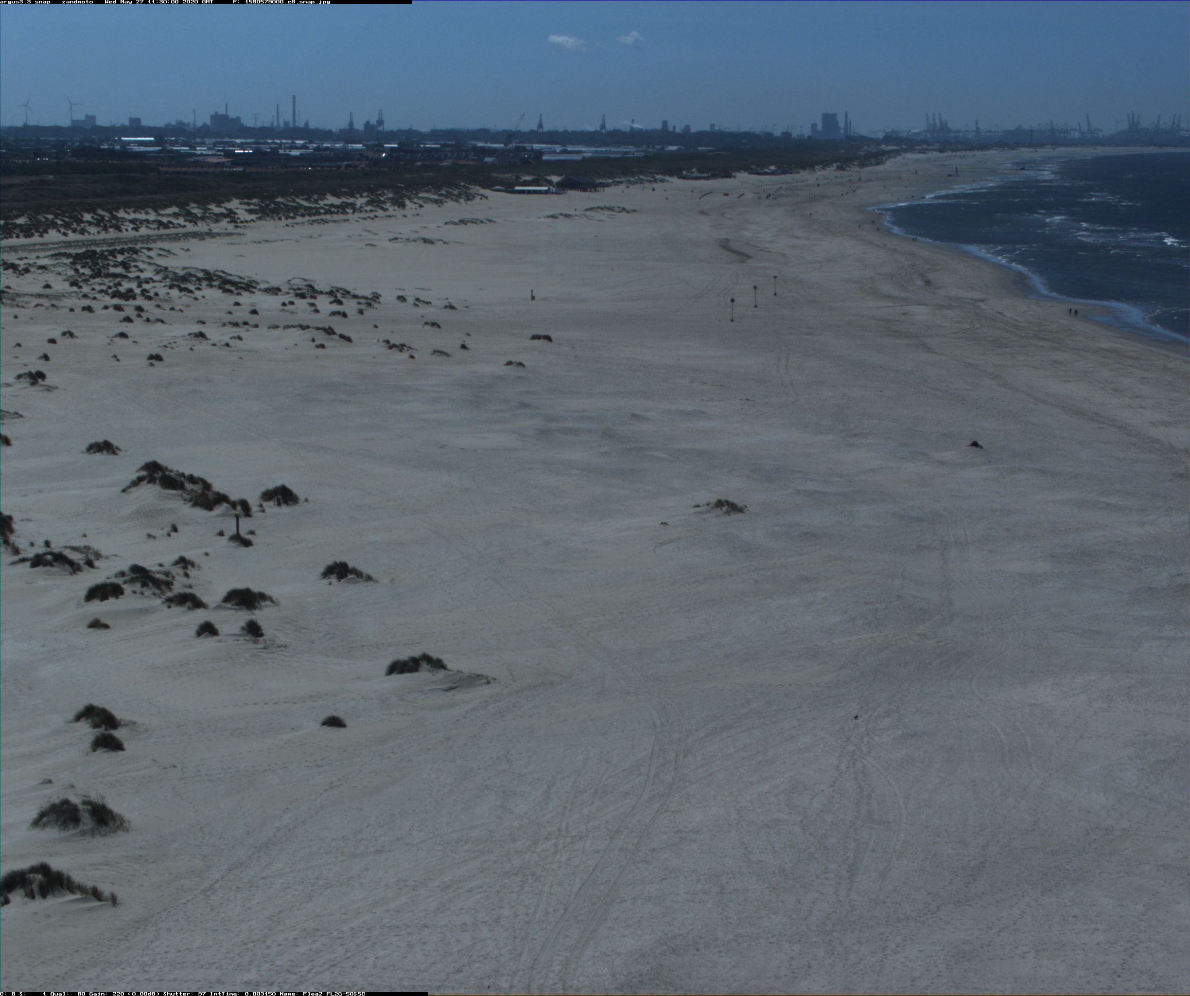
Sand Engine Argus imaging station
The DUT Hydraulic Engineering group maintains a coastal imaging station at the nearby Sand Engine fieldsite. Eight cameras on a 40 m tower make images every hour to follow the changes to the beach. This work is in part supported by the Zabawas Foundation.