System approach to the Dutch landscape
In the project ‘Urbanised lowlands’, led by Reinout Rutte and Jaap Evert Abrahamse, the landscape of the Netherlands is approached as a system of urban development, water, energy, and food. The project will result in a GIS in which these urban systems are recorded, so that the historical research can act as a foundation for spatial planning.
The research project was commissioned by the Dutch Cultural Heritage Agency (RCE). Reinout Rutte (Design & History) and Jaap Evert Abrahamse (RCE) are leading the research in which a huge amount of data will be generated and organised. This data will be used to create analyses, maps, and stories which can serve as examples and inspiration for the various areas. The basic data will be made available in the Landscape Atlas to all kinds of users. For example, the historical research can be used as the basis for spatial planning on different scales, such as zoning plans, structure plans, land-use plans, and regional plans.
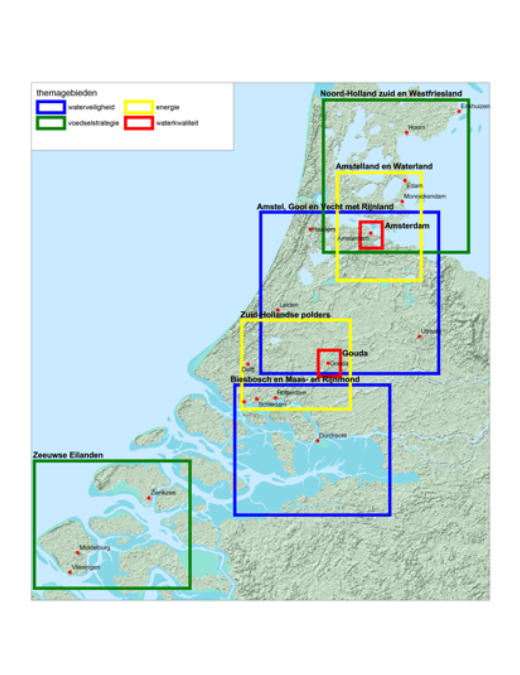
A GIS will be made based on the historical and historical-cartographic research in which the urban systems of water management, flood protection, food, and energy supplies are mapped out. These will give insight into the historical long-term developments of such systems and can be used as a source of inspiration for modern-day challenges surrounding water problems, climate adaptation, food supplies, and energy issues in and around our cities. A system approach will be used; two areas will be chosen per theme to serve as subject for case studies.