Predicting waves at sea
She had already walked onto the deck, the person who had to wave a little flag in eachhand for the helicopter pilot so he would know exactly when to land his aircraft on theship. At the same time, a crane operator was fastening his hook to the place where hewould lift the foundation for an offshore wind turbine. Later he would carefully put itoverboard at the designated place on the bottom of the sea. Elsewhere, another ship wasready to lower a small pilot boat into the water, which would pilot a freighter into theport later that day. All three were looking at the app which has already been commonly used in the maritime industry for some time now: the wave radar.
Thanks to this technical gadget, developed by Peter Naaijen, assistant professor of shipand offshore hydromechanics at the Delft University of Technology, everyone at sea cansee whether there are waves in the vicinity in the coming five minutes and how the shipwill respond to them. The neat thing about this new technique is that essentially allships already have radar navigation. Naaijen analyses this radar data, which containsinformation about the location and height of waves. Thanks to his innovation, it hasbecome considerably safer to perform offshore operations.


To a certain extent, wave conditions at sea are already predictable, except these predications are not very specific. ‘They are not that useful, because you want to know exactly where these waves are and when they are coming,’ Naaijen says. Indeed, this knowledge is reducing accidents in the offshore industry: helicopters are ceasing to crash on ships because the deck unexpectedly comes closer and from now on heavy loads can be transferred from one ship to another without them colliding and causing damage. In addition, installers of wind turbines no longer have to wait until the sea is calm again, nor will they have to travel back to the coast because the waves are too high to work in. It is even possible to find a window when it is momentarily calm during bad weather. This saves downtime, on the one hand, the time that ships need to stay ashore and, on the other hand, it ensures that ships do not set out to sea without accomplishing their mission. This saves both time and money, but also fuel. The margins in the wind industry are small,’ Naaijen says. ‘You gain lots of hours by not having to wait and having more hours per day and more days per year to carry out your offshore operations.’
Predicting waves is similar to predicting rain. ‘Compare it to a weather report for the Netherlands that predicts a thirty per cent chance of rain. You cannot be sure exactly where and when this rain is going to fall. A rainfall radar provides more location and time-specific data, which will give you a better chance to avoid getting soaked. That is why the rainfall radar is a good comparison for our wave radar. During my PhD research I showed that it is possible to predict how high waves will be around a ship 2.5 hours in advance,’ Naaijen says.
Whether or when a ship leaves port is determined by the ‘sea state’, a kind of coefficient that reflects the intensity of the waves, just as the Beaufort scale does for wind. ‘Imagine that a wave three metres high is the absolute limit for an operation that takes two minutes. A ship will not leave port at sea state 4 because the chances of encountering a three-metre wave are too high,’ Naaijen explains. ‘But in reality 93 per cent of that time consists of intervals of at least two minutes, during which the height of three metres is not reached! So if you know exactly when to expect those high waves, then you can avoid that moment and there will be plenty of time left to safely finish your job. That means you can potentially achieve huge savings because ships can leave port more often during higher sea states and do not have to wait on shore as long.’
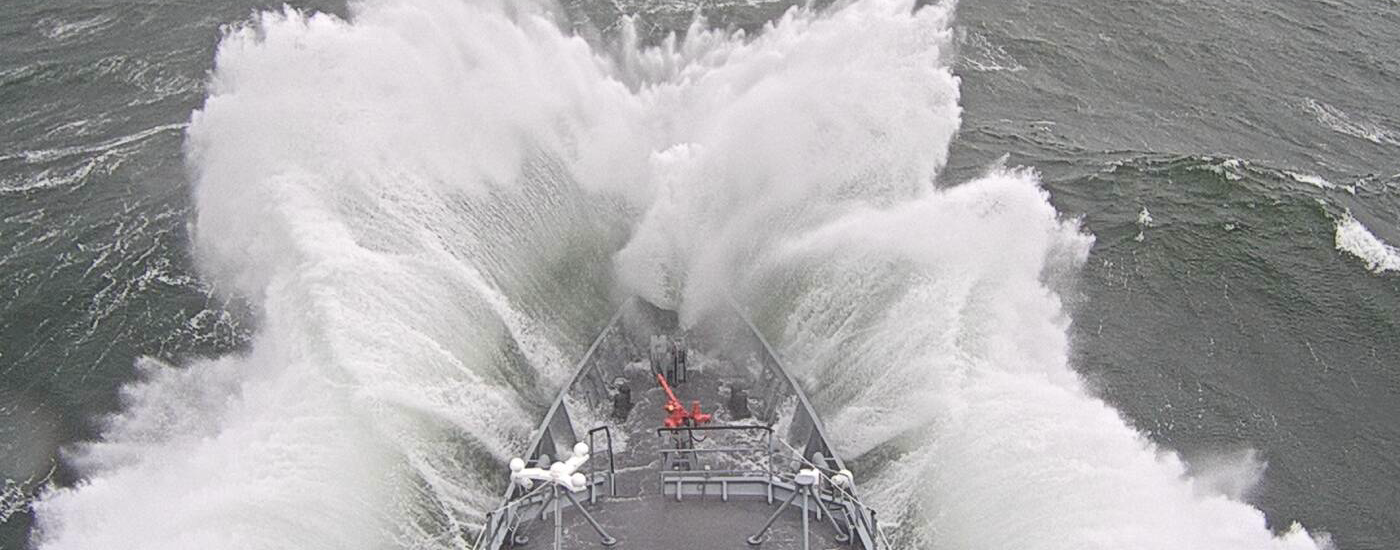
Difficulties with working on board because of high waves
How exactly does this wave radar work? Most ships already have all of the necessary hardware for predicting waves, and so the technology does not require a major investment. ‘We use the radar navigation on ships. Right now, it indicates where other boats are located and precisely where the coast is, so that ships do not run aground,’ Naaijen says. ‘But actually the radar receives a great deal more information, namely where all of the waves in the water are located.’ This is how it works: a radar transmits electromagnetic waves that collide with the waves in the sea, so that the antennae receives them back again. Right now, that information is being filtered out, because it is not interesting for sea captains. ‘We tap into this raw radar data, so that we can analyse it with all kinds of intelligent algorithms. So we are essentially using a waste product.’
In the meantime, Naaijen has launched a company called Next Ocean with a former fellow student, and he has received a grant from the Netherlands Organisation for Scientific Research to actually develop the wave radar app. ‘Parties from industry, such as Boskalis and Allseas have encouraged me to translate my research into a product, because there is great demand for this in the offshore world,’ he says. The first customer has already been announced: Allseas will be the first company to equip its ships with the Next Ocean Wave Predictor. ‘That is what we decided to call our software, but actually it is more of a ship motion predictor,’ Naaijen says, smiling proudly. He expects the software to be ready in late 2017. In 2018, offshore workers on ships should be able to see how high the waves are on mobile devices, so that they know when the best time is to carry out their work.’
