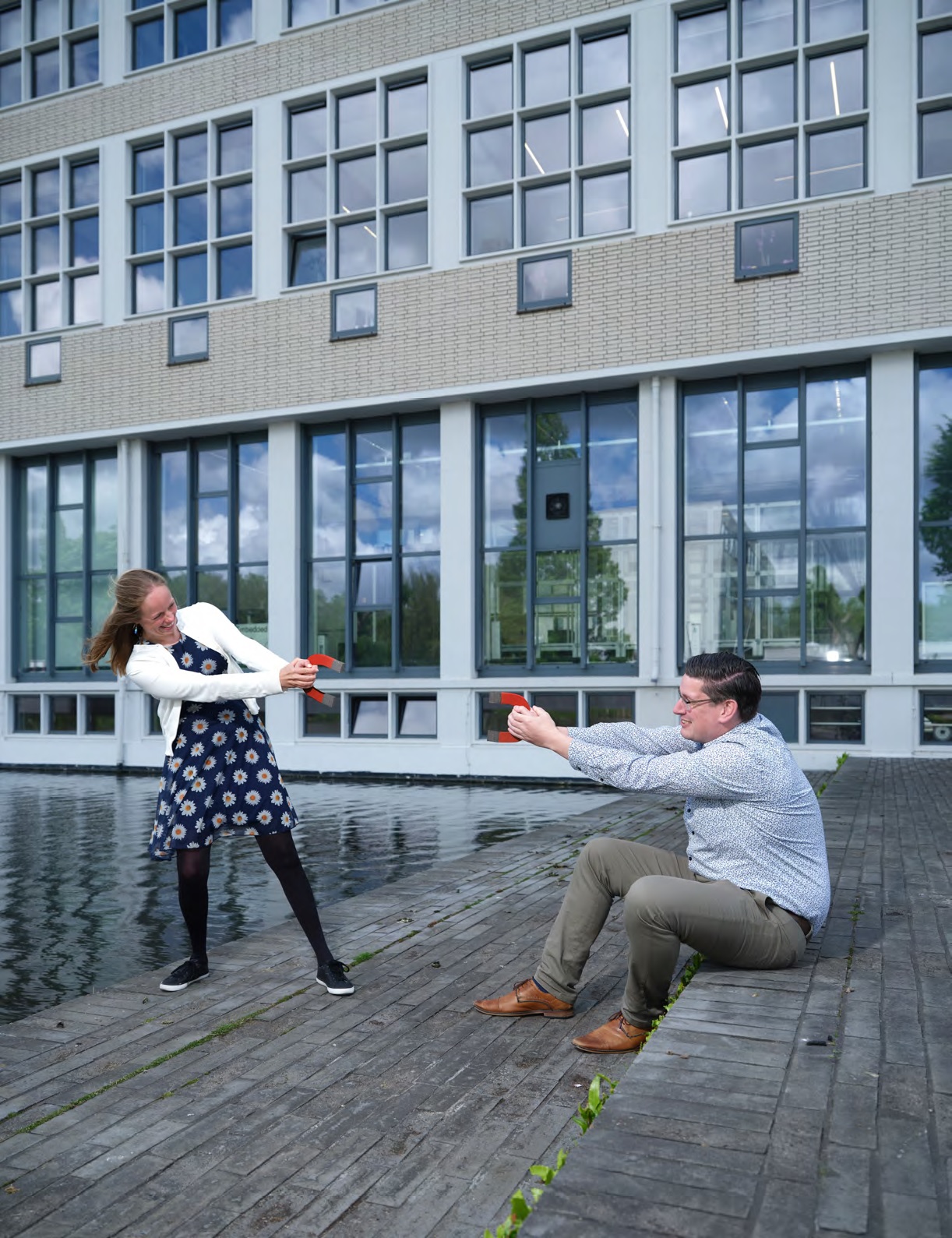
How do you navigate equipment over the seabed when there’s no light and no GPS signal? The most energy efficient and least environmentally disruptive solution may be to create magnetic fields maps. Manon Kok of the Delft Centre for Systems and Control (DCSC) and Rudy Helmons at the department of Maritime and Transport Technology (MTT) are collaborating on a 4-year Cohesion Project entitled Enhanced Underwater Localisation using the Magnetic Field.
Magnetic fields in buildings
“Cohesion happened naturally because we had been in contact before and we’d found this common middle ground,” remembers Kok. “I’d been working on indoor localisation of people inside large buildings using the magnetic field. So imagine you’re a firefighter running into a hospital or a shopping mall and there’s smoke everywhere so you can’t see. If you can have a map of the magnetic field in that building, and a way to sense the level of magnetism as you progress through the building, you can work out where you are.” Particular locations or structures will have an effect on the magnetic field – think of metal radiators or steel used in the building’s construction – and these effects can be mapped. Prior to being invited to join the Cohesion team, PhD student Frida Viset had worked with Kok on this project: “When we model magnetic fields, we measure the points where the field is relatively weak and relatively strong, and then use those measurements to make a pattern a bit like a relief map. So if you come back and see a similar magnetic pattern, then you know that you’re probably in the same location.”
Navigating the seabed
Helmons’ expertise meanwhile is in offshore mining, developing technology to extract or recover metals from the seabed, typically kilometres below the surface where it’s pitch black: “In a mining operation, we know that when we interact with the seabed, we create disturbances - for example sediment plumes - and you can’t use optics because you can’t see a thing, and you certainly can’t use GPS which only penetrates to a depth of three centimetres! So it would be incredibly useful to have an alternative way to map these depths – particularly if it uses much less power to operate or can be used in areas where other the sensing-technologies such as optometry will not work.”
It was while working on localisation in buildings that Kok and Viset realised that localisation underwater has similar problems: “You can’t use GPS inside a building because the signals are blocked by the walls and ceilings, and you can’t use GPS underwater because the water blocks the signal. So we began to wonder whether we could use our localisation techniques with magnetic fields in underwater situations as well.”
“And at sea, disturbances in the magnetic field can be caused by many things such as proximity to a harbour or a lock, or even other sub-sea robots, “ adds Helmons.
Different language and different approach
Having met earlier at the ME Talent Event, Kok and Helmons knew quite quickly that they wanted to propose a Cohesion project together and also the direction that they wanted to take but once they’d begun the project, there was certainly a period of adjustment: “We spent some time getting to know each other’s field and how each other thinks. Also because we’re working on such different topics, we had to learn to speak the same language,” says Kok.
“And I think we’re still working on that,” laughs Helmons. “A major difference is that Manon is focussed on a more fundamental approach towards science while I’m much more focussed on application so bridging those two factors is quite a challenge - but also fun!”
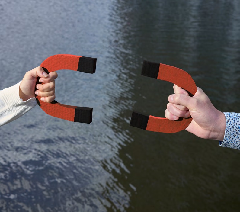
Because we’re working on such different topics, we had to learn to speak the same language.
Manon Kok
Assistant Professor
A paper, a proposal and a spinoff
Not quite halfway through the project, there are already results. Viset: “I had my first journal publication in the direction of making magnetic field localisation computation tractable, meaning that this technique could for example be employed on smaller, lighter underwater vehicles - drones - where you have limited computational capacity.”
“And we now have an initial collaboration with Carlos Hernandez Corbato at Cognitive Robotics, which is a very nice spinoff of our Cohesion project,” says Helmons. “We’re looking into how we can further develop underwater robotics and expand that field because at MTT, a lot of research is being done on equipment or ships at the water surface, and in my group, we’re mostly focussing on processes that interact with the seabed, but there’s hardly anything being done at ME on everything going on in between the sea surface and seabed, so it would great if we could get some research going there.”
Freedom and room to explore
So as far as Cohesion is concerned, there is definitely added value. Kok: “I think this project is a really nice example of starting off something that we were not working on and also other people were not working on and so there’s a lot of room for exploring new things.”
Meanwhile, the Cohesion team has submitted a Horizon Europe proposal, which is an example of how this application could be used for monitoring deep sea mining equipment - and the ME contribution to this proposal follows directly on from their project. “That’s the nice thing about a Cohesion project,” reflects Helmons, “you have absolute freedom in any direction that is valid - and it’s lovely!”