Geomatics Day - Student project 1
Indoor Navigation For The Blind And Visually Impaired
Visually impaired people have experienced a lot of obstacles when navigating their surroundings, which can severely affect their quality of life. Very often the blind or visually impaired person wants to be independent, and to not rely on others to navigate. To decrease their dependence on other people for navigation, we would develop a prototype that would help the visually impaired to navigate the indoor environment using the following technologies: Lidar, QR code, Wi-Fi fingerprinting. (Alternative Approach: Bluetooth low energy (BLE) beacons).
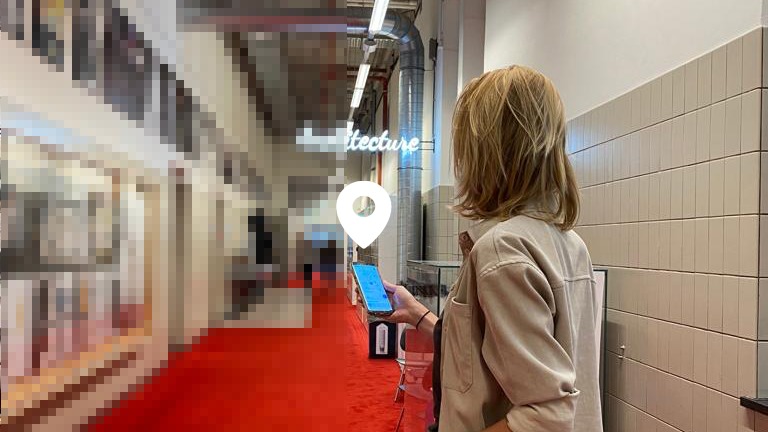
Our aim of this project is to develop a working prototype using the ArcGIS platform to design a system that can accurately map and generate route information as well as the position to our client within a section of the Architecture building of TU Delft. The end goal is to develop a workable navigation system that can help our client independently navigate the indoor environment.