Topological Atlas
Mapping Contemporary Borderscapes
Topological Atlas develops a transdisciplinary research programme for mapping, analysing and intervening in border areas in the form of a digital atlas. The project thinks through the notion of the ‘atlas’ as an unfinished, impossible and colonial representation of a world, but also as a form of world-making or worlding. How can this topographical representation par excellence be reimagined differently?
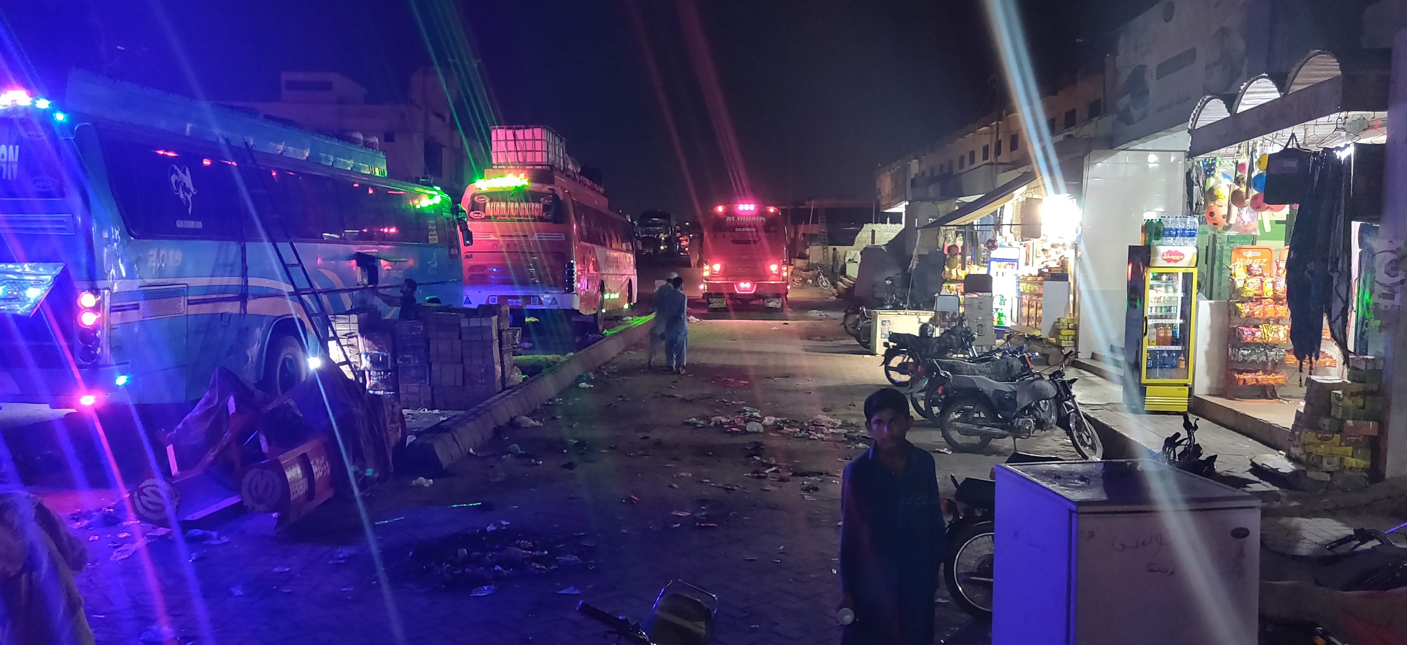
The project uses topology as conceptual framework and methodology to make maps that produce ‘seamless transitions’ from the space of the migrant to that of the security apparatus that creates barriers to their movement. In doing so it seeks to disrupt the cartographic norms that are being reinforced through the prevalence of GIS technology and proprietary mapping platforms such as Google Earth. Topological Atlas works across three border sites, Pakistan-Iran, Iran-Turkey and EU-UK, producing visual counter-geographies that combine digital mapping and story-telling techniques with a participative approach that attends to those who are at the margins of traditional geopolitical inquiry.
Facts
Funder: | European Research Council (ERC) |
Programme: | Horizon 2020 |
| Grant amount: | € 1.498.349 |
| Grant number: | 758529 |
| Role TU Delft: | Host Institution |
| Project duration: | June 2018 - December 2023 |
| TU Delft researchers: | Dr. Nishat Awan Pierre Marchand Julie Vanderhaegen Yelta Köm Lena Saraj Ishita Sharma Asim Rafiqui |