Urban Data Science
The urban data science section focuses on the technologies and governance models underpinning geographical information systems (GIS) and spatial data infrastructures. It aims at designing, developing, and implementing better systems to model (3D) cities, buildings and landscapes, as well as the governance mechanisms employed in concepts such as the ‘open city’ and ‘the city as a service’. The two groups forming this section, 3D geoinformation and urban data governance, help in environmental modelling, urban planning and design, crisis management, navigating in large indoor environments, etc.
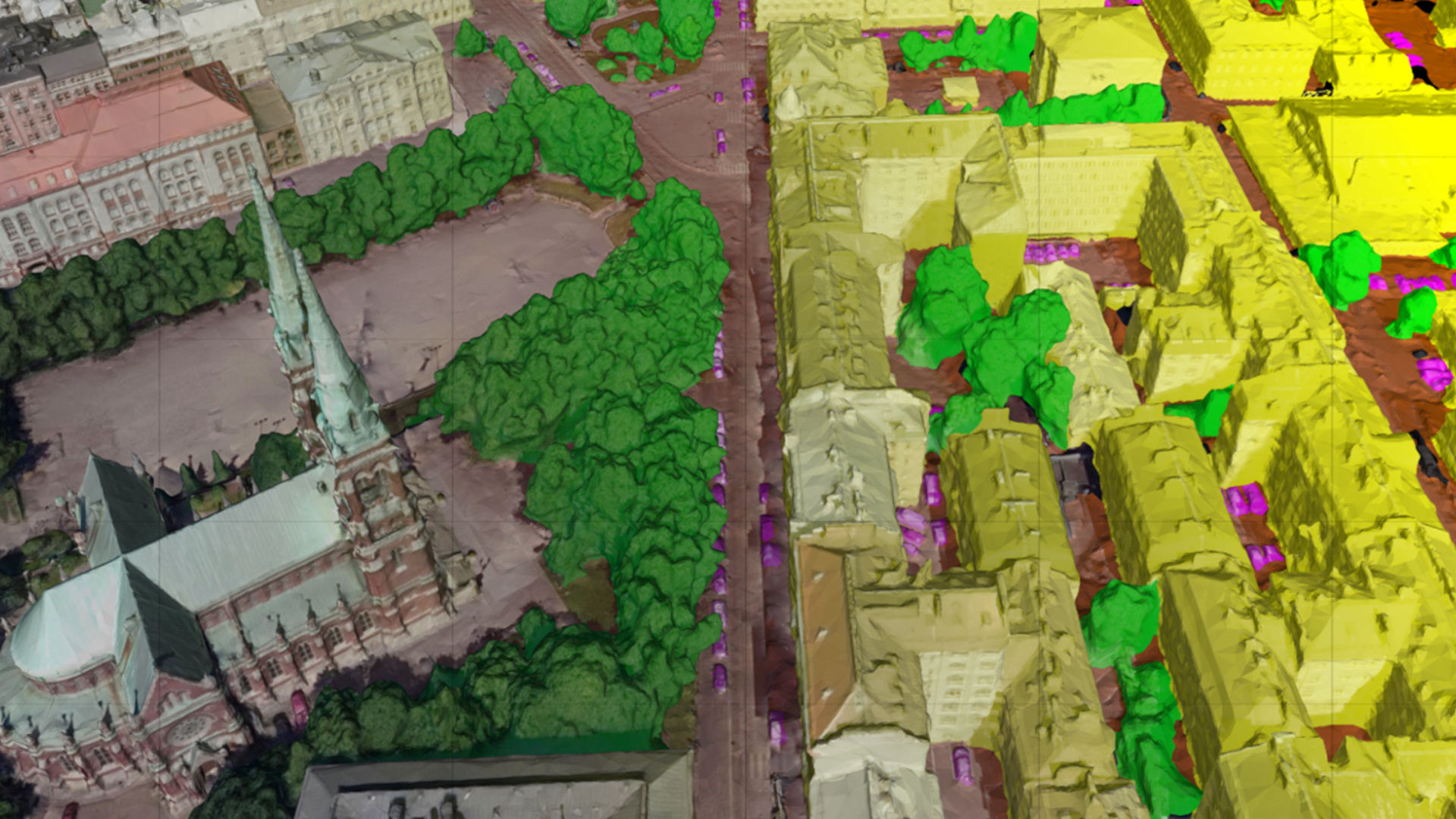
In addition, they contribute by researching the role (geographic) data has in solving the challenges of sustainable and smart built environments in general and in the ‘open city’ more specifically. Their research approach centres on 3D data reconstruction, 3D data validation and modelling 3D data for urban applications. One of the pillars of their work is the strong belief in implementing research ideas, for all projects, to collect real-world data, test hypotheses by implementing open-source software, and only publish when their approach has been thoroughly validated. The source code of these projects is freely available under open-source licenses (on GitHub). In addition, qualitative and quantitative research methods are applied (e.g. desktop research, literature review, interviews, surveys, cross jurisdictional case study research).