Spatial Computing for Sustainable Development
BK-MI-235 & BK-MI-197
The new generation of actors involved in spatial developments, such as architects, geo-information specialists, and decision-makers, will be expected to improve and monitor the liveability & quality of existing and new cities, landscapes, and buildings in face of new environmental, social, and economic challenges. This often requires formulating and solving multi-disciplinary complex design and decision-making problems in a collaborative setting. However, the fundamental question is: “How do we know if our interventions or designs will yield better results?” How can we model, monitor, analyse, simulate, and evaluate the functioning of cities, landscapes, and buildings? How can we improve the sustainability and liveability of cities, regions, and buildings in quantifiable ways? To effectively deal with complex multi-disciplinary problems, computational approaches need to be utilized to automate or structure analysis, synthesis & evaluation procedures required for optimization and systematic decision-making in participatory settings.
The minor Spatial Computing offers a set of courses providing the fundamentals of computing in spatial (geometrical, topological, and/or graph theoretical) monitoring, design, and spatial decision-making. The minor consists of 2 components: Geospatial Computing (Digital Twinning) & Architectural Computing (Generative Design), each of which cover the essential topics of applied mathematics and computer science topics for multi-dimensional algorithmic modelling, analysis, simulation and evaluation on building and urban scale.
The concepts, methods, and techniques learnt in the first quarter about development of larger area covering open geospatial digital twins for informing decision-making processes concerned with planning interventions will be directly utilized in the second quarter in simulation-driven architectural design of buildings.
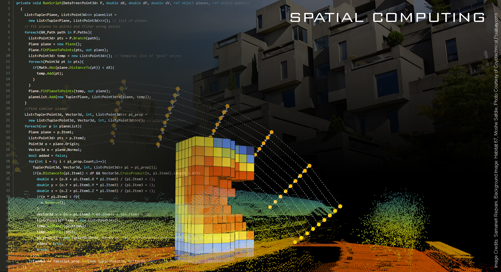
To get an impression of some of the results achieved in the past years visit this page.
Faculty of Architecture and the Built Environment
Language: English
Maximum participants: 30
| Non-selection minor: | |
| Selection minor: | |
Education methods
Lectures, hands-on programming (open-source), workshops, group study, and seminarsFor whom?
The complete minor is intended for students of Architecture and Built Environment (ABE), Electrical Engineering, Mathematics and Computer Science (EEMCS), Civil Engineering and Geosciences (CEG), Technology, Policy & Management (TPM), and Industrial Design Engineering (IDE). It is, however, also open for other students, including students outside TU Delft.
This minor is suitable for those interested in rational and collaborative approaches to decision-making for sustainable development in surveying, design, and planning. It has a mathematics & programming-oriented approach, however, prior knowledge is not considered a prerequisite.
What will you learn
Having followed the minor program, the students will be expected to have learnt:
- to formulate measurable sustainable development goals for spatial interventions;
- to acquire data and create 3D models of existing parts of the real world;
- to perform spatial data visualization and cartography via programming or software;
- to apply computational models/methods in architectural design and spatial planning;
- to formulate design or decision alternatives procedurally;
- to show by simulations how a design or an intervention is supposed to work;
- to compare design or decision alternatives according to evaluation criteria;
- to define governance rules and procedures for sharing and re-using data;
- to scientifically underpin their designs or geospatial decisions; and
- to distinguish and identify data modelling, analysis, simulation, evaluation and optimization approaches and methods in relation to spatial decisions.
Course overview
The minor degree programme Spatial Computing consists of two quarters:
-
Minor code: BK-MI-235 (15 EC)Spatial Computing for Digital Twinning is focused on formulating and solving complex spatial decision problems in spatial decision-making at geographical scales. It involves acquiring 3D data, addressing open urban geo-data governance (data sharing by involved actors), developing analytic procedures and simulation models using geo-data for understanding the complexity of cities, landscapes and regions and directing interventions for yielding (objectively evaluated) effective results. By using geospatial simulation models this half of the minor focuses on digital twinning for supporting decision-making at geographical scales. The thematic areas of attention will be simulation modelling for understanding the effect of designs and interventions on various activities and phenomena such as mobility, energy use/production, spatial diversity, segregation, spatial justice, and urban sprawl and their relation to Sustainable Development Goals.
For course descriptions, please visit the study guide. -
Minor code: BK-MI-197 (15 EC)Spatial Computing for Architectural Design is focused on formulating and solving complex design problems in architecture. It involves developing computational procedures and models for the formulation of design requirements and rules, algorithmic generation of designs, analysis, simulation, and evaluation of building performance using mathematical methods for generative design, by making open-source generative design workflows this half of the minor focuses on generative systems for participatory design of housing complexes. The generative processes will be based on simulation models whose results provide for ex-ante evaluation models that form the basis of design decisions on various quality criteria and validity constraints of buildings such as ergonomics comfort, energy-environmental-comfort balance, and constructability.
For course descriptions, please visit the study guide.
Participating institutions
Register for this minor
For registration, please visit minors.tudelft.nl.