Niels Treffers
MSc graduate 2016
The first time I came in contact with a Remote Sensing topic was during a Bachelor course on Earth Observation. The topic in this case was the GRACE mission: observing the gravitational field of the Earth from space, by measuring the distance between two satellites. What amazed me was the sensitivity of these measurements. Distance changes smaller than 1 millimeter, even though the satellites were 200 km apart. Concepts like this pulled me towards Geoscience & Remote Sensing, once my Bachelor was finally done.
The first year of my Master I focused on the available courses. I decided to have a broad focus on the different topics within Remote Sensing. This means I just picked all of the elective courses available. These courses ranged from topics like cloud formation in the atmosphere as well as all the way back down to mass transport within the planet. Another important part is an understanding of gathering the actual data used in research, for this the course on surveying was very useful.
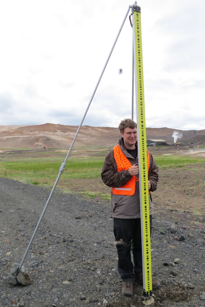
The real test came in the field work in Iceland. Two weeks in which to set up and execute a measurement campaign, using lots of different techniques. The fact that the Sun never sets in summer was beneficial for seeing the beautiful landscape, not so much for trying to sleep at 'night'.
In my second year I started with an internship. I spent 3.5 months at Fugro in Leidschendam working on testing software for high precision positioning using GNSS. This was an important step for me, as it was the first time I got to apply what I learned in a working environment. It worked out well and an internship is something that I will recommend to anyone.
The internship started me off in the direction of GNSS and also got me to my graduation project. This was again on high precision positioning, but now on the other side of the world: Australia. That is one of the benefits of the great connections the department has. The graduation project put me again into high precision measurements that sparked my interest in the Remote Sensing field several years before. Determining a position within a centimeter using satellites that are 20,000 km above you in the sky.
I spent more than 7 months in Australia on my project, but after that I had to go back home to finish my Master degree. That of course ends with a big presentation, showing all the work done in the months before. After that came the next important step, but I already knew where I wanted to go. I went back to Fugro, where I am now, applying all things I learned during my 2 years Master degree in Geoscience & Remote Sensing.