Sustainable Development
In view of the violent changes to the climate and to the environment foreseen in the next decades, a sustainable and efficient use of water and land resources will be of paramount importance for the ever increasing population. In this context, policy-makers and practitioners have increasingly acknowledged the potential of Earth Observation (EO) towards the achievement of the Sustainable Development Goals (SDGs), as envisioned by the United Nations. A plethora of space missions will in fact ensure global coverage at high resolution with daily or quasi-daily revisit, shaping the next decades into the golden age for EO and posing intriguing challenges on the data assimilation strategies and on the efficient handling of such unprecedented data volumes. Among the imagers, Optical and Synthetic Aperture Radar (SAR) instruments are in particular regarded as a key asset in support to land cover monitoring and cropland management, enabling the mapping of physical observables at multiple spatial and temporal scales.
Land Cover Mapping and Change Detection
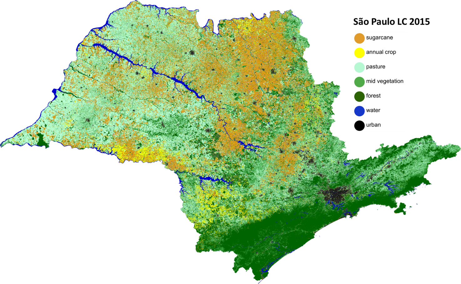
Land cover inventories are of great value for a large variety of users, ranging from governments and private landowners to climate change and environment modellers. Monitoring changes in land cover conditions improves the quality and readiness of land management decisions, and facilitates scientists in the implementation an in the use of more accurate models. Each mapping problem most likely requires an ad-hoc methodology, as a ‘one-fits-all’ solution is not possible. Nevertheless, a common fundamental challenge consists in increasing the spatial and temporal details in the land cover products, while preserving or even improving their taxonomy and accuracy level. The joint exploitation of optical and radar dense series through efficient and accurate statistical models is essential for such purpose and hence represents the core of our research activities. Currently, significant attention is dedicated to the implementation of Near Real-Time capabilities in addressing land cover change events, land degradation and plant phenology.
Crop Monitoring
It is estimated that food production must increase a 70 percent in order to satisfy the future population needs. Rather than increasing the acreage, and with that, the risk of causing land use conflicts, the most widely acknowledged solution is to augment the productivity in a sustainable manner. Satellite EO is strategically expected to support such development by providing unique historical and in-season information on cultivated areas, including crop type, acreage, presence of irrigation, crop stress and yield predictions. Our research focuses on assimilating the Optical and SAR time-series in order to provide continuous tracking of the crop status. Optical systems can count on a long-standing know-how, but their reliability can be severely affected by weather conditions. On the other end, Radars are known for their all-weather capabilities and for revealing complementary facets of the illuminated targets, most notably related to their water content. A correct interpretation of the fluctuations in radar backscatter, often disregarded as noise, will hence pave the way to a synergic in-season mapping of the phenological and water conditions of crops.
