Modeling water in ancient Jordan
As much as elsewhere, in ancient times human survival in the Zerqa triangle in the Jordan Valley depended on human ability to adapt to the natural environment, not just in the reactive sense, but also in the proactive sense of shaping the environment, with a major instrument being irrigation. Temperatures are very high because of the low altitude of 300 meter below mean sea level. Average winter temperature is 15 degrees Centigrade, while the summer average is 32 and maximum daily temperatures of 40 to 45 degrees are quite common. Rain falls only between November and April, with an average of about 290 millimetre a year, although annual variability is quite large. Theoretically the average falls just within the limit that is considered the minimum for dry-farming, but frequent droughts would make it impossible to sustain a stable society of some size without a more secured water supply from irrigation. The Zerqa triangle has been extensively studied within the Settling the Steppe-project, and I use the extensive data available through these studies in this research.

The Zerqa Triangle (Kaptijn 2009)
My interest is to develop ideas how irrigation in the Zerqa triangle may have functioned. A fundamental aspect of the modeling methodology is that the reference situation is unknown. Simple, conceptual models do allow for quick analysis of water systems, but cannot provide the detailed analysis of the material context for irrigation needed, precisely because there is no information to validate the models of ancient irrigation systems. The drawback of using conceptual models is their inherent uncertainty in the values for the model parameters, which are not physically based. These model parameters need to be calibrated against real data, which are not available. Applying conceptual models only will increase the uncertainty of model outcomes.
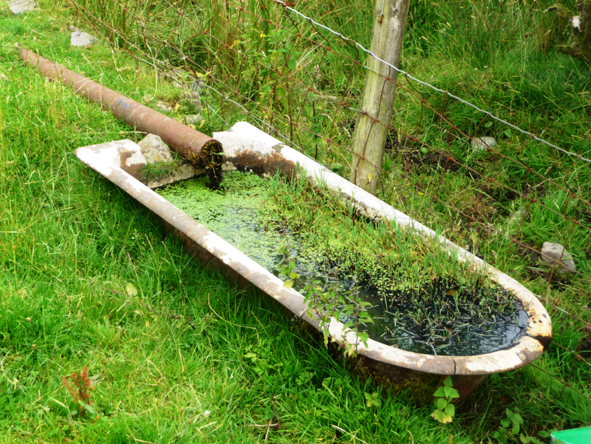
Compare the irrigated landscape with a bath tub, for which we can establish physical properties and set realistic filling and emptying mechanisms, including a shower (rainfall), tap (river) or leak (groundwater). Setting parameters in such a model requires good quality data on aspects like soils, climate, geology and groundwater. Applying physically based models can yield realistic results, even in catchments without measured data (see for example Predictions in Ungauged Basins (PUB)), as margins of uncertainty of the physical parameters are being constrained by nature.
Are you interested in finding out more about this project, or working on part of it as a BSc. or MSc. project? Contact Maurits Ertsen.