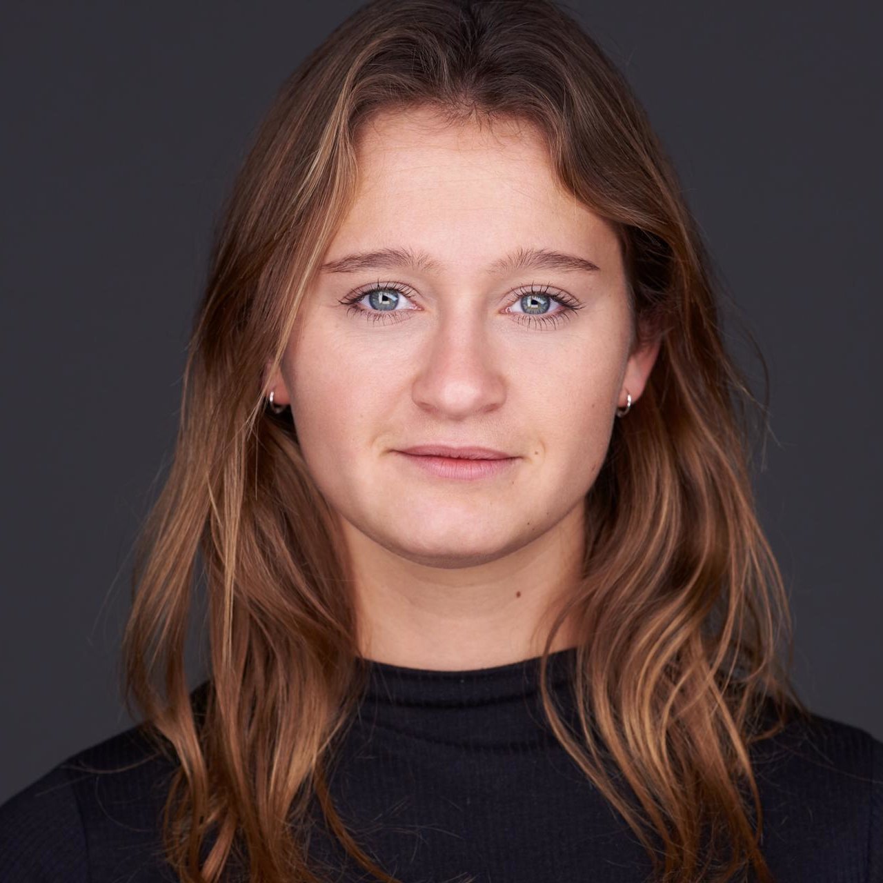
Amber Mulder

Name: Amber Mulder, Dutch
Bachelor: Future Planet Studies at the University of Amsterdam
Most of the time I do what I enjoy most: using my creativity to design unique solutions in Python to real-world geochallenges.
After graduating in Geomatics for the Built Environment I started working as a research and development engineer at Readar, the company where I also wrote my Master’s thesis. Readar uses remote sensing and machine learning to translate aerial imagery of the urban environment into data. For my Master’s thesis research I used artificial intelligence to convert aerial images with height information into topographic maps.
Currently, my job is to write algorithms designed to automatically extract data from aerial imagery. Examples of this include the localisation of solar panels and the detection of relevant changes in buildings and infrastructure. Most of the time I do what I enjoy most: using my creativity to design unique solutions in Python to real-world geochallenges.
Before starting Geomatics for the Built Environment, my knowledge about the geomatics field was sparse and I only had limited programming experience. One of the first courses in the Master’s programme is Python Programming for Geomatics. The cool thing about this course was that within weeks the whole class, no matter their background, was able to use Python to perform geomatics-related tasks.
This Master’s program covers a great variety of topics from the broad field of geomatics. Even though this Master’s programme is quite technical, you can easily choose a less technical job afterwards. The ECs reserved for free electives allow you to focus on topics that you are specifically interested in. I chose artificial intelligence and 3D city modelling electives, whilst classmates chose courses on (geo)data visualisation, geostatistics and web design.
I am really enthusiastic about the number of skills I have learned and improved during this Master’s programme that I can now apply in daily use. These skills include geomatics-related ones, such as working with GIS software and open data portals, but also skills on how to collaborate effectively in engineering projects. For me, choosing to study Geomatics for the Built Environment has been a great decision. I highly recommend this Master’s programme to anyone who is interested in geodata and is looking for a scientific yet highly practical Master’s programme.