
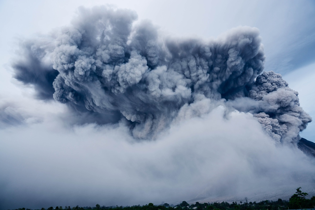
The Filipino volcano Taal is restless and spitting lava, ash and steam into the air. Volcanologists fear that a new and bigger eruption is imminent. Ten years ago, Europe was under the spell of an enormous ash cloud, following the eruption on the Eyjafjalla Glacier in Iceland. The cloud brought air traffic to a complete standstill and entailed significant costs. Guangliang Fu and Sha Lu, researched how such an ash plume behaves and how you can predict where it will go.
Ten years ago, Europe was under the spell of an enormous ash cloud, following the eruption of a volcano on the Eyjafjalla Glacier in Iceland. The cloud brought air traffic to a complete standstill in a large part of Europe, caused a great deal of disruption and entailed significant costs. Guangliang Fu and Sha Lu who did their PhD at TU Delft in 2017, investigated how such an ash plume behaves and how you can predict where it will go. A subject that is (once again) extremely topical now that the Filipino volcano Taal is restless. The mountain spits lava, ash and steam into the air. And volcanologists fear that a new and bigger eruption is imminent.
The huge ash plume, which was blown into the air after the eruption of the Eyjafjallajökull, provided an impressive sight, but also brought home the fact that researchers did not know how to effectively deal with the phenomenon. After all, how the ash cloud would develop remained a mystery. ‘The volcanic ash can cause serious damage to airplane engines. Choosing to avoid any risks, airline companies decided to ground all their airplanes. If we had known where the ash cloud was headed, it would have been possible to fly around it, for example,’ says Guangliang Fu.
Guangliang has successfully created a predictor that calculates ash cloud behaviour in the next two days – priceless information for airlines and airports. Fu is one of the first to produce actual figures on ash cloud movement.
One of the reasons behind his success is the clever use of measurement airplanes. Satellite information is available of course, but is simply too limited and does not offer the complete picture. Sending an aircraft to the cloud to conduct measurements is much more effective. It will return with information such as the number and type of particles in the cloud. Fu feeds these data into his forecasting system. ‘This prediction can tell you whether it is safe to fly over France, for example, and if it turns out to be unsafe, whether it is a good idea to divert air traffic to Germany.’
The physical laws of the atmosphere
Making such a forecast was not easy. This is because the measurement aircraft has no permanent location and is always moving around. ‘That makes it difficult to process the data, and explains why the data were not used earlier,’ comments Fu.
The PhD candidate successfully wrote an algorithm that tells you exactly when and where the plane conducts a measurement. In Fu’s forecast model, these data are combined with the weather forecast. ‘The model can be used to forecast where the cloud is moving to. You can then use an aircraft to check whether this is correct. If these measurements indicate that the ash cloud is moving elsewhere, the model automatically adjusts the forecast. You therefore make effective adjustments while factoring in the physical laws of the atmosphere,’ says Fu.
Recreating an ash cloud
Sha Lu conducted her PhD research into ash clouds at the same time as Fu. She explored ways to recreate an ash cloud. Where exactly did the ash enter the atmosphere, and what height did it reach? She calculated the distance from the atmosphere back to the site of the eruption itself, which would be beyond the capabilities of existing methods. ‘Satellites only provide information about the column as a whole. From their position, they cannot determine the height reached by the ash, only the total amount in the atmosphere at a particular location. But not the vertical distribution,’ explains Lu.
That being said, she can definitely use the satellite data. Lu uses measurements from satellites at various locations. She combines these data with meteorological data, such as the wind speed at various altitudes. Lu: ‘Combining these data allows you to see how the ash is distributed vertically. It comes down to tiny differences that you have to extract from huge amounts of data. We are talking about very subtle effects, for example, wind speed 7 at levels 8 and 9, but wind speed 6 at level 5.’ The information lies more or less concealed in a veritable mountain of data. Lu’s method is extremely accurate, due to the fact that she retrieves information from a range of different sources with her algorithm.
This is an updated version of an article that appeared in April 2017.
Text: Robert Visscher | Photo: Mark Prins
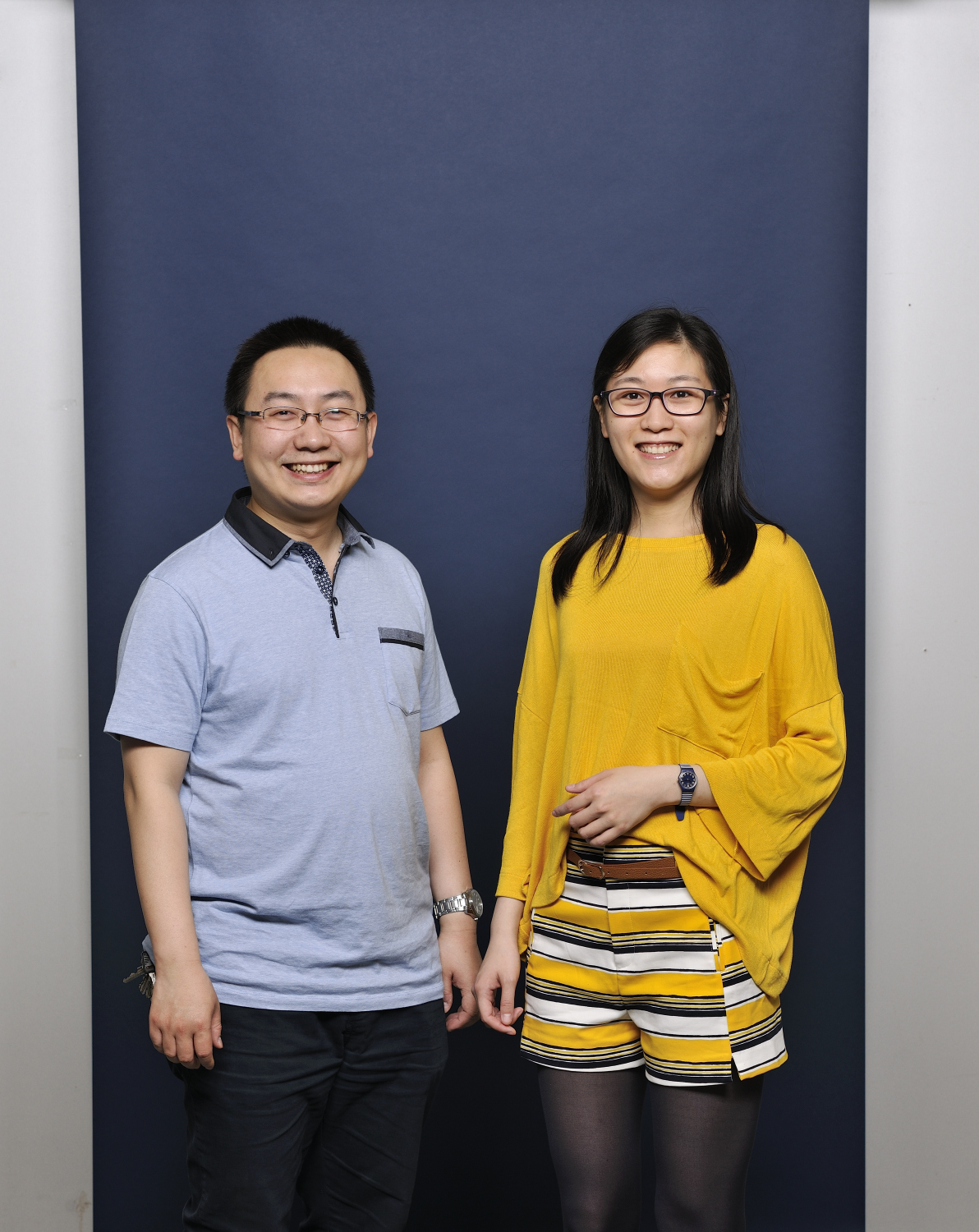
Lu and Fu met during their Mathematics Bachelor’s degree programme in China. ‘We went to the same lecture, which was attended by about 200 students. She caught my eye immediately, because she is so pretty,’ says Fu. He went to talk to her, and they have been together ever since.
After getting their degrees in China, they both planned to do a PhD study. But only if they could secure places at the same institution, which is exactly what Delft offered them. ‘We love it here. People are very direct and like to share their expertise with us. And that means I learn an awful lot,’ says Lu.
The couple hardly ever talk about work at home. ‘We save that for the office. We do not want to influence each other’s research when colleagues are not present. And it is often better to receive criticism from someone other than your partner,’ says Fu with a smile.
Delft holds a special place in Fu and Lu’s lives, as they really enjoy living and working in the city. But it became even more special when Fu asked Lu to marry him. Immediately after Lu had obtained her doctorate in the TU Delft Aula. ‘It came as a complete surprise to me, it was a wonderful moment,’ says Lu. ‘My parents were there, and I thought it was great. This is where we feel at home, together here in the Netherlands.’
Almost three years later, Lu and Fu still live in Delft and are married. They both work at SRON, the Dutch expertise institute for space research, in Utrecht.
During their doctoral research, Guangliang Fu and Sha Lu were supervised by Arnold Heemink. Heemink is Professor of Mathematical Physics at the Faculty of Electrical Engineering, Mathematics and Computer Science. Over the past decades he has been involved in, among other things, dykes and other measures for preventing flooding, oil flows in drilling wells and the spreading of pollution in groundwater. His research has not only led to more than one hundred publications in scientific journals, but also to practical models that are used by research institutes and organisations like Deltares, Rijkswaterstaat, TNO, and Shell. Heemink also makes a major contribution to the teaching of mathematics at Delft University of Technology. Over the years, dozens of mathematical engineers have graduated with Heemink and more PhD students have obtained their doctorates under his supervision.
In recent years, another PhD student – Jianbing Jin – has been researching large, violent sandstorms. Heemink: ‘China is often battered by sandstorms that originate in Mongolia’s Gobi Desert. You would like to know when such a storm is coming, so that you can warn everyone in time, but that’s still quite difficult.’ Jianbing figured out how and where sand particles can be blown into the air. Read all about it in the article Brace yourself, there's a sandstorm coming!.


