
Improved Resilience in the Face of Climate Change
Geo-Information Services
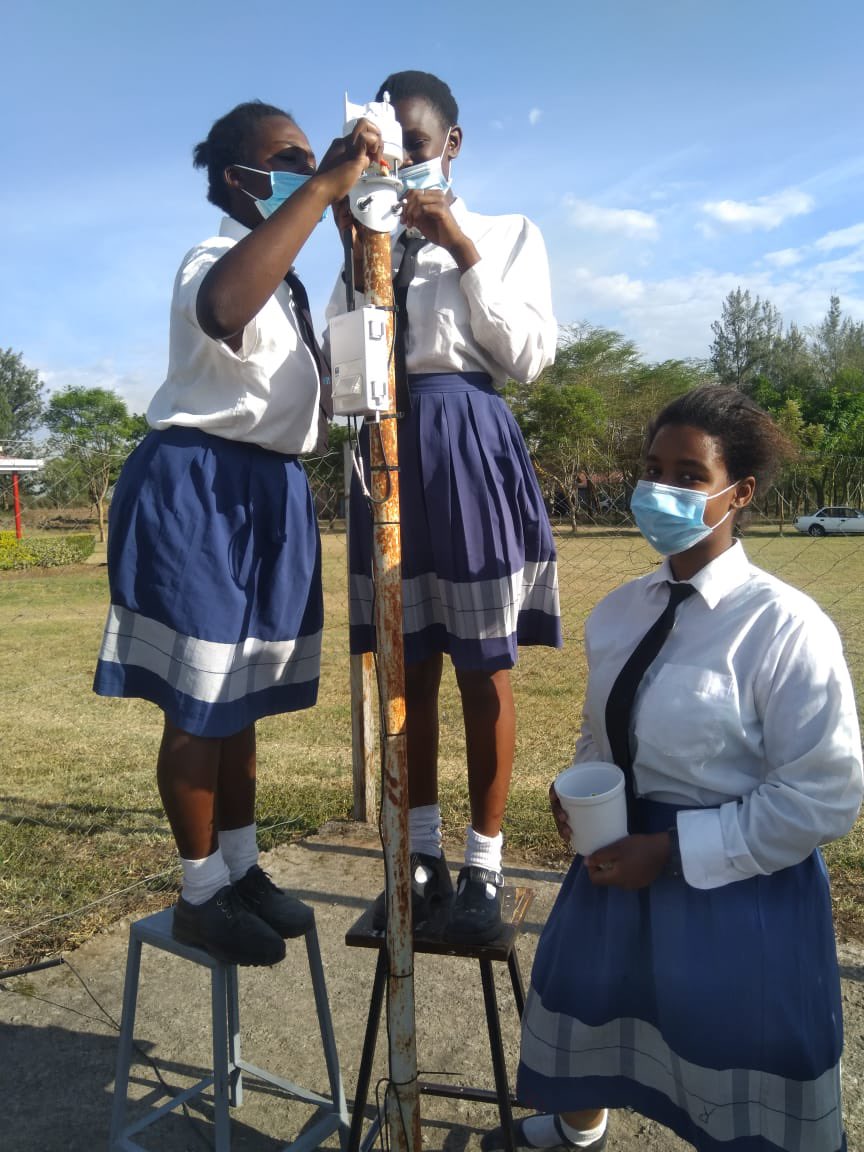
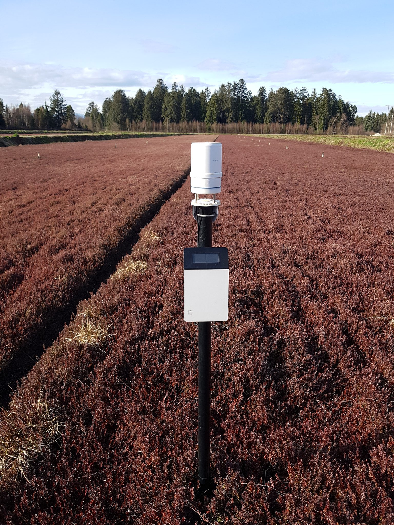
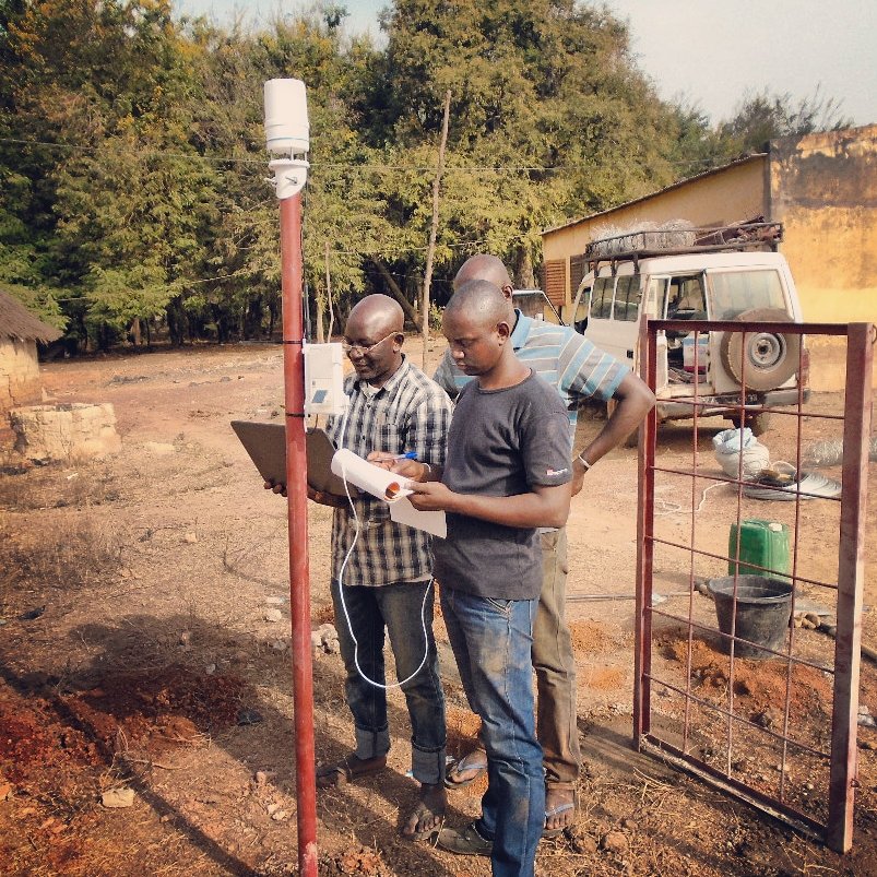
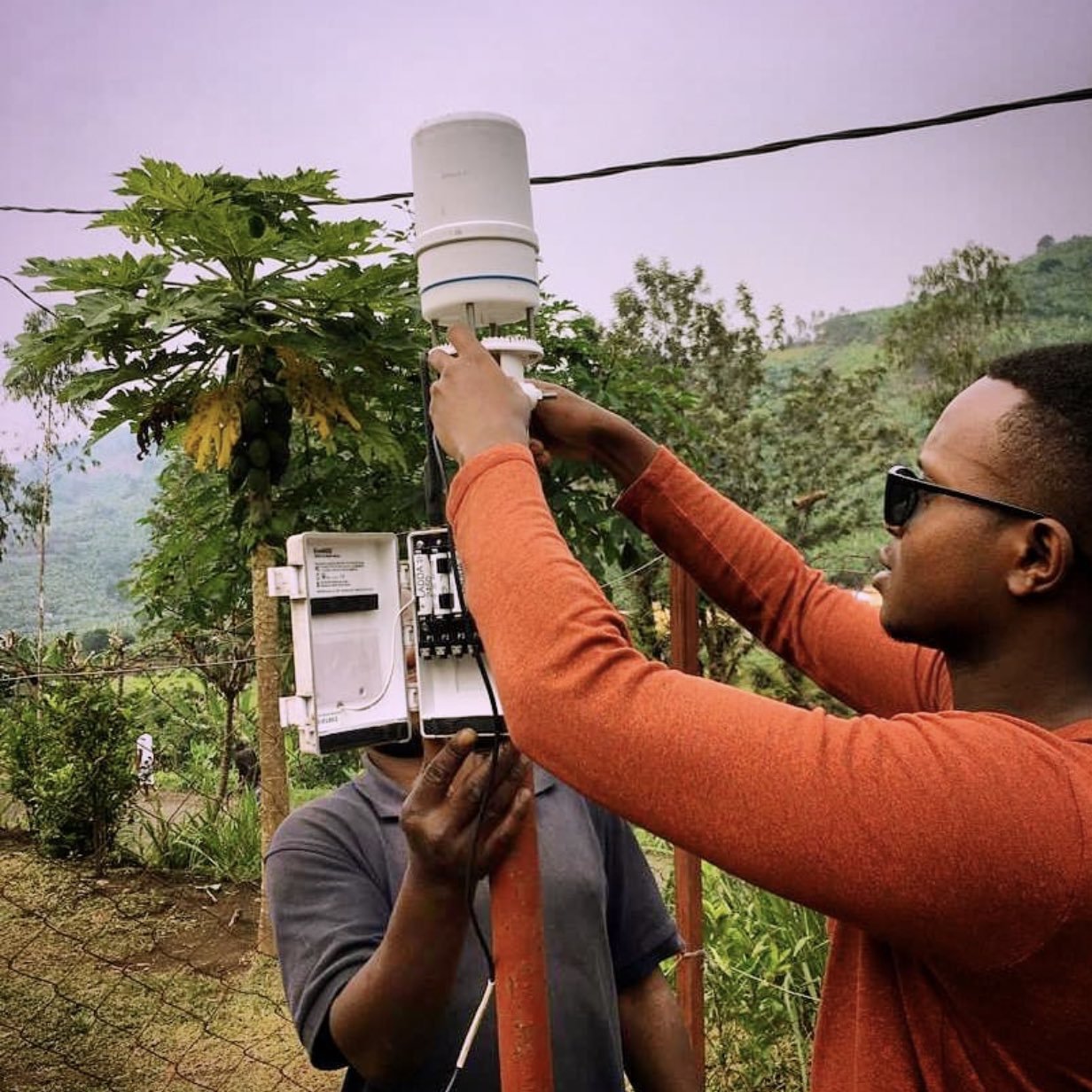
Few places on Earth are served worse with geo-information than Africa. At the same time, the potential value of geo-information services in Africa is extremely large. TWIGA’s overarching ambition is to fill this information gap by first enhancing satellite-based geodata with innovative in situ sensors and development of actionable information services based on this geodata. This ambitious goal can be achieved thanks to recent advances in sensor and communication technology, as well as new sensing platforms such as UAVs and citizens’ observatories. A defining characteristic of TWIGA’s ambition is that the project develops complete value chains and not just links in that chain.
Provide currently unavailable geo-information on weather, water, and climate for sub-Saharan Africa and develop services that answer the needs of African stakeholders and the GEOSS community.
The scientific activities will lead to new products, such as maps of precipitable water vapor, energy fluxes, and crop development; humidity sensors to see when irrigation is required, and sensors that detect clogging in urban areas to reduce flood risk. Other possibilities include developing early warning systems for floods due to heavy rain, drought monitoring, heat stress indexing for livestock, and real time water balancing tools for dams to anticipate water scarcity. Combinations of these in situ observations, satellite products, and models will be well beyond the state-of-the-art, not just in Africa but for any continent. The consortium has been built to serve the complete chain with a mix of African and European partners, SMEs, academia, and governmental meteorological agencies.

Involved partners


More Water for Impact Projects


TU Delft | Water for Impact is a programme of TU Delft | Global Initiative.