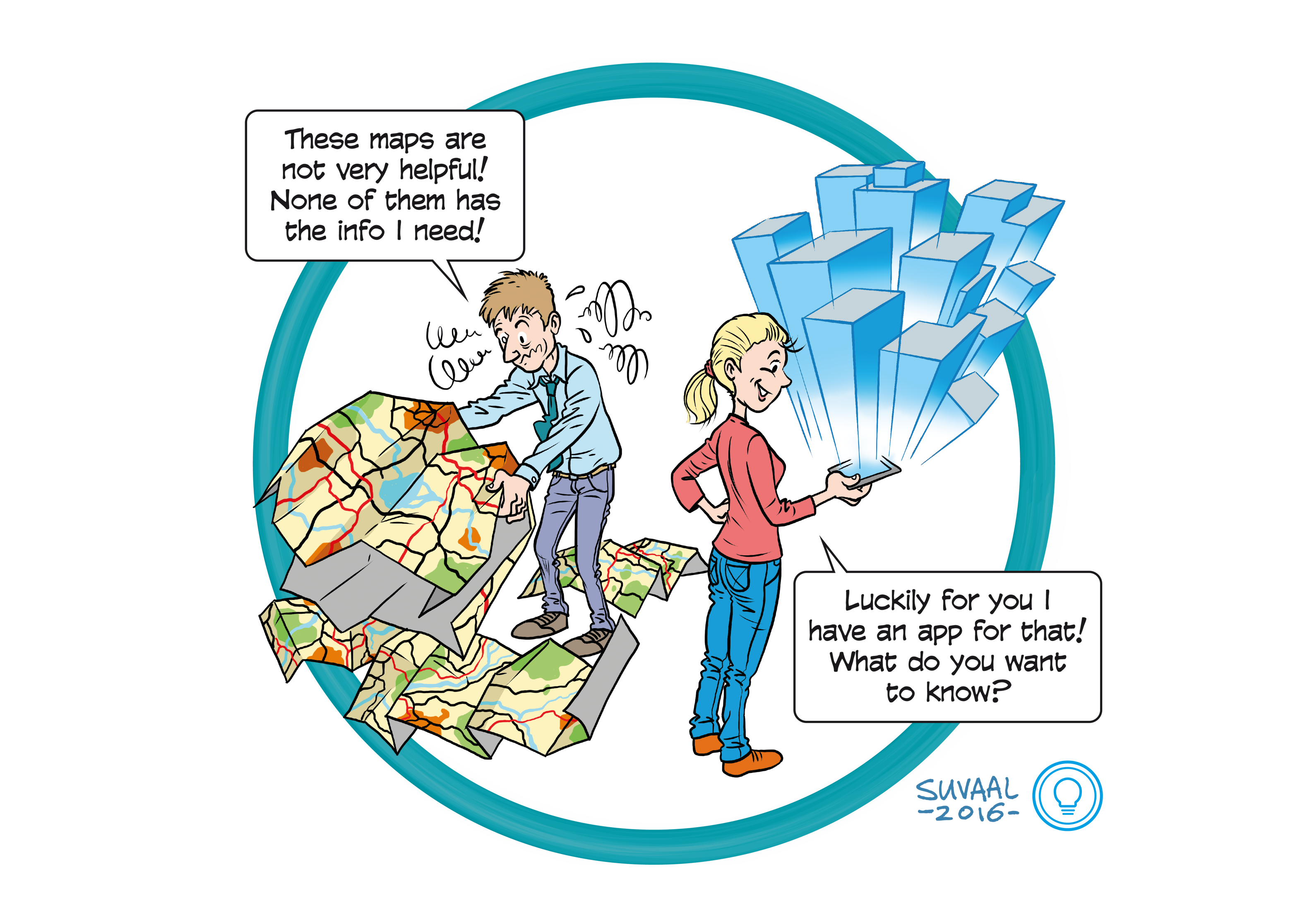
A national 3D Geoinformation dataset for urban applications
Themes: Software technology & Intelligent Systems, Life Sicence & Health

Early lab scale demonstration

A TRL is a measure to indicate the matureness of a developing technology. When an innovative idea is discovered it is often not directly suitable for application. Usually such novel idea is subjected to further experimentation, testing and prototyping before it can be implemented. The image below shows how to read TRL’s to categorise the innovative ideas.
Why?
3D Geoinformation is in practice currently developed, if at all, in a case-by-case basis for specific projects and uses. This significantly affects quality, applicability and cost-effectiveness, and limits its potential.
How?
Standards are developed and existing datasets are linked to create a nationwide 3D dataset. The challenges involve defining application-specific levels of detail and content, 3D space subdivision and storing/updating/disseminating the massive dataset.
When?
Municipalities are already investing in creating and using 3D datasets. For The Netherlands a first crude nationwide 3D model has been developed and published as open source data. The next steps are to build a 3D infrastructure that makes application-specific 3D data readily available.
Dr. Hugo Ledoux
Prof. dr. Jantien Stoter
