Melika Sajadian
Name: Melika Sajadian, Iranian
Bachelor: Civil Engineering at the University of Tehran
Soft skills such as teamwork, effective collaboration and communicating with experts of different fields were effectively practiced in this Master’s programme.
I was a Geomatics student from 2017 to 2019. During my study at TU Delft, I learned not only about geospatial data acquisition, management, modelling, analysis and visualisation, but also I learned about concepts in computer science such as machine learning, statistical pattern recognition and big data analysis. Geomatics at TU Delft is not only about the theory; during our class assignments, the synthesis project, and also my Master’s thesis, I practiced different programming languages such as SQL, Python, JavaScript and Scala. Also, soft skills such as teamwork, effective collaboration and communicating with experts of different fields were effectively practiced in this Master’s programme.
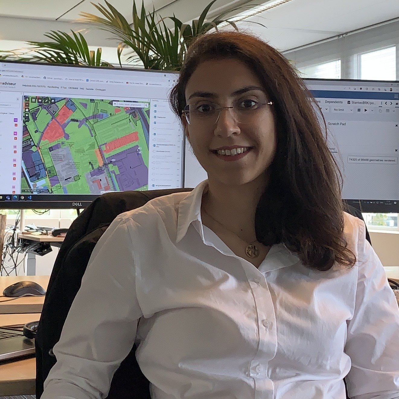
After my graduation, I started working at Stantec as a geospatial data engineer in the Product Development and Delivery team. The team mainly creates soil risk maps and delivers them as web services to our clients. As a data engineer, I create and maintain geospatial databases, create automatic procedures to process the geospatial data and turn them into useful information for our clients, optimise the existing processes, perform quality control on the processed geospatial information, and sometimes also get involved with the front-end development of our web services.
Geomatics is an interesting and truly practical and multidisciplinary programme. Obviously, all the theoretical concepts, as well as the technical and soft skills I have learned during my study, are now intensively used in my daily tasks at work. I enjoyed my study at TU Delft, and now I am also enjoying my role as a geospatial data engineer at Stantec.