Semantic segmentation of RGB-Z aerial imagery using convolutional neural networks
Semantic segmentation of remote sensing imagery can be useful for various applications such as object- and change detection or land-use analysis. This task can be performed by deep learning algorithms called convolutional neural networks (CNN), which are used in this research to analyse RGB aerial images with additional height information.
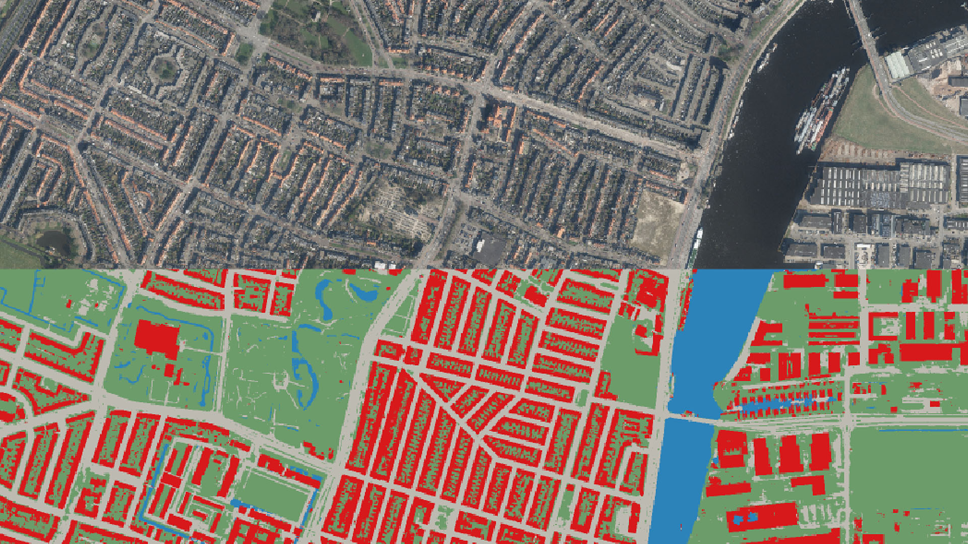
The aim is to find out, to what extent height information adds value, what the best way is to combine RGB information with height information and what type of height information can best be used. For this purpose, different CNN architectures are trained to semantically segment true orthophotos of Haarlem into the classes building, road, water and other. Different experiments show that especially the detection of the building class, but also the overall segmentation performance improves by including height information. The best performing model correctly classifies over 90% of the pixels and thus shows, that height information is a valuable addition for semantic segmentation.