Synthesis project
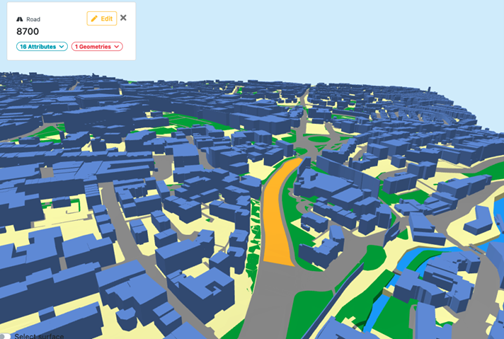
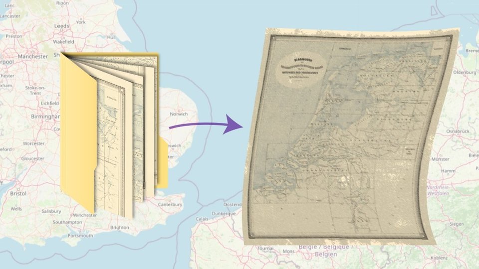
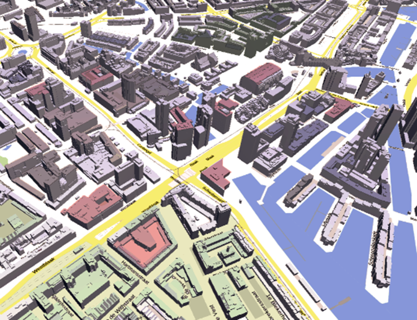
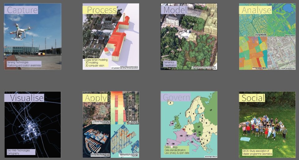
The Geomatics Synthesis Project (GSP) is a culminating group project by first-year MSc Geomatics students. The objective is to undertake group and fieldwork through a small but real-world research project at companies or the university itself. The students are able to practise skills in acquisition, visualization, processing, analysis and interpretation of geospatial data, as well as project management - an invaluable experience.

