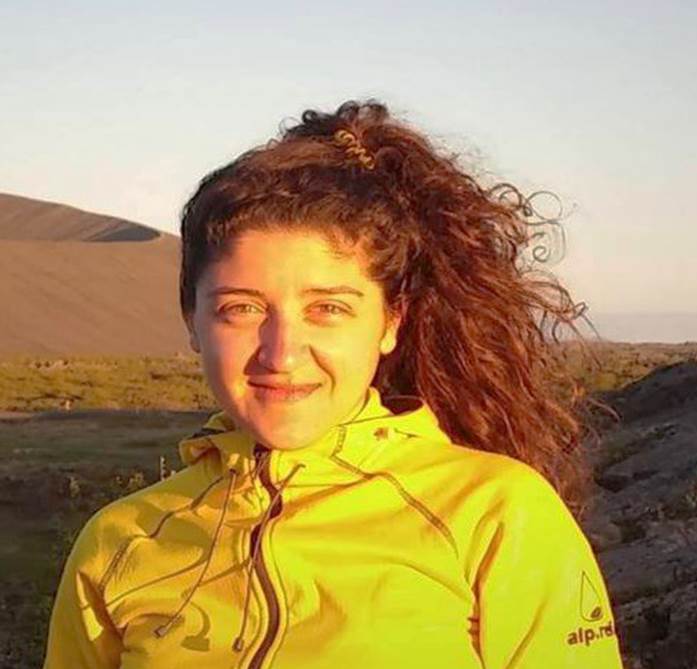
Charis Chatzikyriakou

MSc graduate 2017
It was during my Bachelor’s programme that my interest in Remote Sensing started to emerge. At that time, I was studying at the School of Rural and Surveying Engineering, at the National Technical University of Athens, in Greece. During this programme, I got familiar with the traditional surveying techniques but also with the more modern technologies and methods of observing the Earth and making measurements on its surface, both on land and at sea. More specifically, my Bachelor’s thesis was about monitoring changes in the Mediterranean Sea with Satellite Altimetry. That was a very intriguing project for me, since I started discovering the potential of modern Remote Sensing techniques, and thus decided to follow a related Master’s programme in order to gain deeper knowledge in these technologies and their applications.
When seeking for the most suitable programme, I run into the MSc Geosciences and Remote Sensing at TU Delft, which drew my attention from the very first moment. It combined many different Remote Sensing topics, in both a theoretical and practical way. In addition, the freedom that this programme offers, by letting you choose from different specialisations, was optimal. During the first semester I attended core courses that helped me create a solid background for the rest of the programme, and during the second semester I could already choose courses that were tightly tuned to my interests, such as Ocean topography and sea-level change, Geodesy and Natural Hazards and others. Of course, the highlight of the first year was the 2-week fieldwork in Iceland. Apart from the great location and company – since I was there with all my classmates, that fieldwork was a hands-on experience and therefore we all gained a lot of new practical knowledge in our field of study, but most importantly how to cooperate with each other.
During the second year, I attended extra courses that I considered beneficial, like Python Programming and GIS, and I started my internship. That was in the Department of Geodesy and Geoinformation at TU Wien, Vienna, where I worked within the OPALS team. OPALS stands for Orientation and Processing of Airborne Laser Scanning data, and it is a software package that is being developed to provide a complete processing chain for large scale LiDAR projects. My main responsibility was to contribute to the documentation of OPALS by analysing different LiDAR datasets – topographic, bathymetric and forestry data - for the creation of typical use cases. After I came back to Delft, I started my Master’s thesis research. The title of this project was “UAV Laser Scanning for DTM Generation in Coastal Areas”, in cooperation with the coastal engineering company, Shore Monitoring & Research B.V. My task was to look into all the different components of which such an aerial system consists of, to identify the sources of errors and quantify them, and to conclude on the optimal flight plan and instrument setup. In addition, I created a standard post-processing procedure plan for the derivation of added-value products, such as DTMs, DSMs, volume calculations etc. I really enjoyed this project, I learned a lot about LiDAR and its potential, and decided to start my professional career in this field.
After my graduation, I was really excited to start working for Skeye B.V. Skeye performs aerial surveys and inspection using unmanned aircrafts. My role as a Project Manager within Skeye is to be responsible for the processing of LiDAR data and the derivation of value-added products. In addition, I often investigate new ideas for carrying out surveys, process photogrammetry datasets and go into the field to assist during the data acquisition. I am really happy that my everyday work is so directly related to my previous field of study since I still get the same excitement every time I first open a LiDAR dataset!