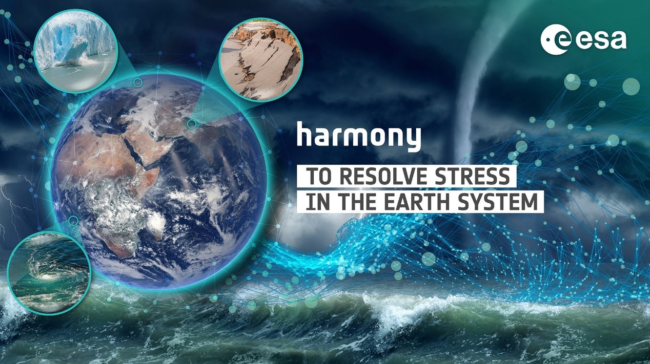
ESA proceeds with TU Delft mission proposal
After several years of in-depth studies involving several candidates, ESA has decided to take TU Delft’s mission idea Harmony to the final decisive phase for the Earth Explorer 10 satellite mission. Harmony will address key scientific questions related to ocean, ice and land dynamics. If the final phase is completed successfully, Harmony is expected to be launched into orbit around 2030. Dr. Paco López-Dekker from the Geoscience and Remote Sensing Department, was the lead proposer of Harmony and serves as principal investigator.
Harmony is conceived to observe and quantify small-scale processes playing out at the surface of the Earth System. One of the main goals is to improve our understanding of the interactions between the atmosphere and the oceans, where small scale processes are responsible for most of the vertical transport and exchange of heat, momentum and gasses like CO2. Over land, Harmony will provide observations needed to resolve tectonic strain, which links directly to earthquake risk. Moreover, Harmony will allow detailed studies of dynamic processes in polar and mountain glaciers, associated to loss of ice-volume and to sea-level rise. This will help us to better understand societal challenges such as climate change.
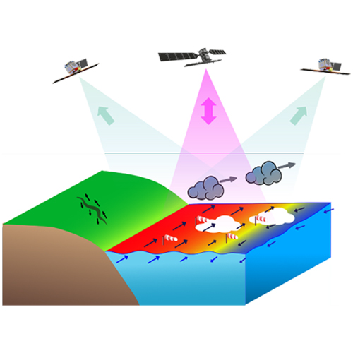

Representation of the (left) stereo and (right) cross-track flying formations for Harmony. The Sentinel-1 satellite is depicted in black color. Sentinel-1 transmits a signal and acquires the backscattered echoes (represented with magenta arrows), while the Harmony satellites receive part of the energy that bounces towards them (represented with the green arrows).
To achieve the research goals, the Harmony system consists of two satellites, with a receive-only radar as main payload, that will fly in formation with an existing Sentinel-1 radar satellite. The companion satellites will alternate between to flight configurations. The StereoSAR configuration, with one spacecraft leading and the other trailing Sentinel-1 by approximately 350 km, will provide three simultaneous views at the surface from different directions, allowing the retrieval of ocean surface winds at unprecedented spatial resolutions and of surface motion vectors of the ocean, sea ice, and solid earth. The cross-track formation, where one of the satellites will be moved close to its sibling to form a single-pass radar interferometer, will provide dense time-series of surface elevations measurements. In addition, the two satellites will carry a thermal infrared payload that, by providing several simultaneous views, will allow accurate estimates of sea-surface temperature and of cloud motion vectors.
This last decisive phase includes further feasibility assessment after in-depth system definition, including the design of the satellite platform and instruments, flight operations, technology developments and how best to exploit the data.
For more information, please also consult the ESA press release.