
MSc Track: Geoscience and Remote Sensing
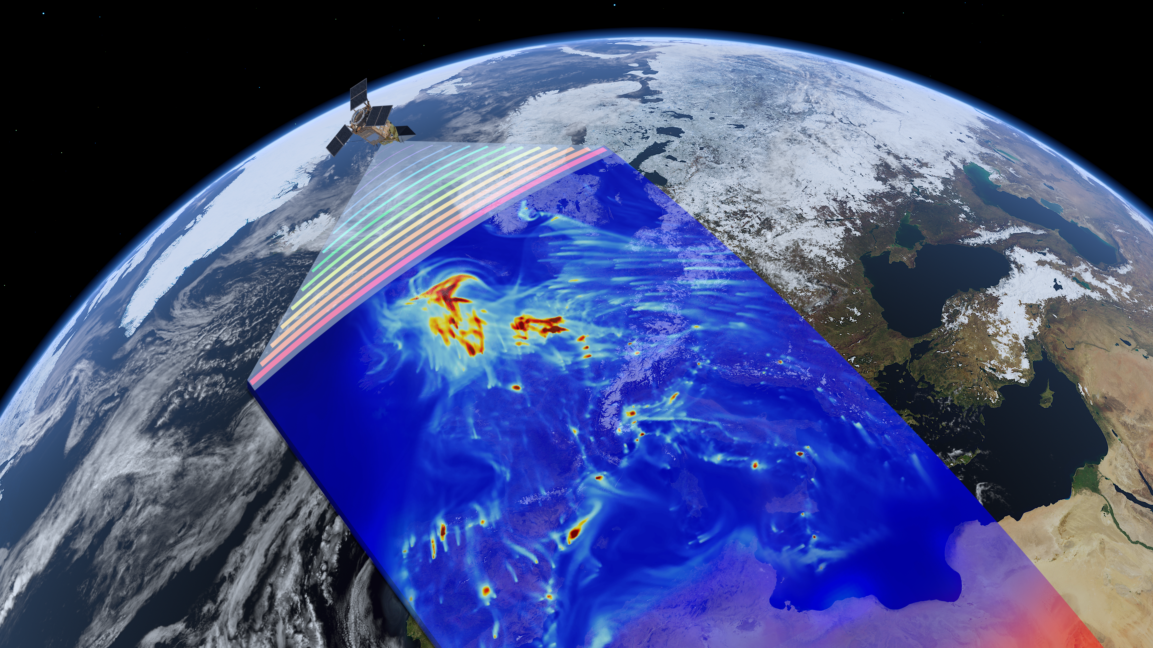
Our Earth is changing due to the growing population, urbanisation, natural geophysical processes, land use, and climate change. How can we improve our understanding of the underlying processes and make the right decisions for the future? In order to answer these questions we need advanced remote sensing technology, together with innovative data science and modelling techniques. These are the foundations of the MSc track Geoscience and Remote Sensing (GRS). Climate Change and Natural Hazards are cross-cutting themes within the program, where we use our “Delft approach”: providing empirical results and their interpretation as input to the societal debate.
MSc programmes per September 2022
As per September 2022 we are planning to redesign the master programme Applied Earth Sciences. If this process proceeds as planned, the subjects of the tracks mentioned below will be integrated in the master programme Applied Earth Sciences per September 2022. Students who enroll in the current track in September 2021, can continue this track until August 2024, after which a transition into the new master programme Applied Earth Sciences will apply. The curriculum of the new master programme will be published on our website as of September 2021. Please contact the study advisors if you have urgent questions at this moment or consult our frequently asked questions section.
Key features of this track:
➨ Understanding system Earth and climate change
➨ Developing state-of-the-art analysis tools for massive remote sensing data
➨ Modelling of Earth and atmospheric processes
➨ Monitoring and mapping infrastructure and geohazards
For more information check out the programmeGeoscience and remote sensing is about the physics and mathematics of the Earth.
Degree
Master of Science in Civil Engineering or Applied Earth Sciences
Language
English
Type
Full-time on campus
Start
September
Credits
120 ECTS, 24 months full time
% international students
25%
Percentage of students gets within 6 months a job:
>90%


