Water walk through Delft
What have the Delfland Water Authority, IHE Delft (Institute of Water Education) and TU Delft degree programmes like Water Management and Applied Earth Sciences been doing to keep Delft dry? Find out during the water walk, a tour through Delft central city.
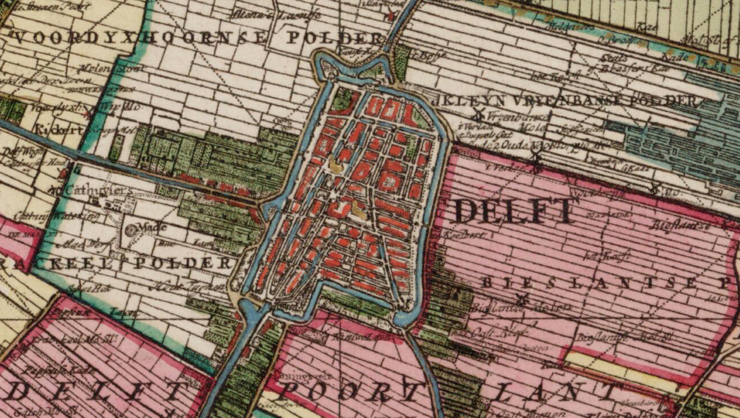
The route is based on the map drawn by brothers Jacob and Nicolaes Kruikius 1712, commissioned by the Delfland Water Authority. The Kruikius map was drawn using measuring instruments such as the Hollandse Cirkel (a device for measuring angles) and a fixed-length surveyor’s chain. It displays all the dikes, polder embankments, locks, ring canals, polder drainage channels, windmills, bridges and the plot boundaries in the area. You can download the tour on the website of VVV Delft.