MSc topics
MSc topics in Geoscience and Remote Sensing
On this webpage you can find an indicative list of available topics for MSc graduation projects. It is certainly not a restrictive list: you may also define your own research proposal in consultation with a supervisor.
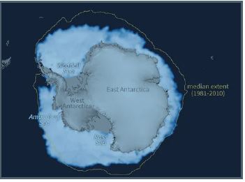
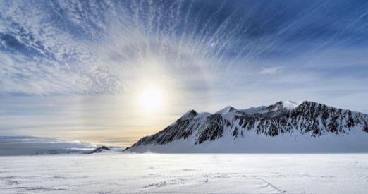
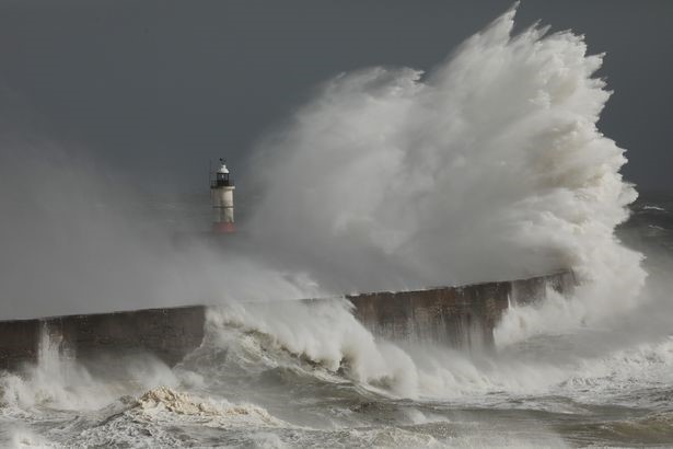
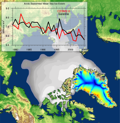
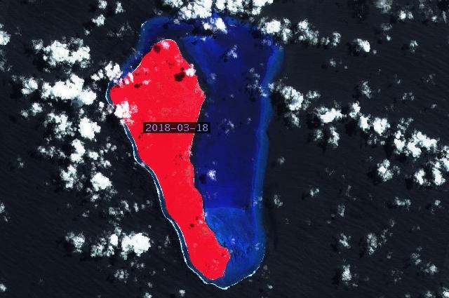
Is Antarctic sea ice becoming younger?
In the last decade, Antarctica experienced the three lowest sea ice extents ever recorded within the satellite era. These extreme losses may suggest a longer term decline that could have important consequences on the rest of the climate. Our current understanding of recent and projected sea ice changes in the pack is lacking. In particular, the age of sea ice is an important indicator of its health, but hasn’t yet been considered in past studies investigating Antarctic sea ice trends.
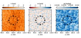
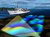
Characterization of the shallow atmosphere based on cloud and ocean structures
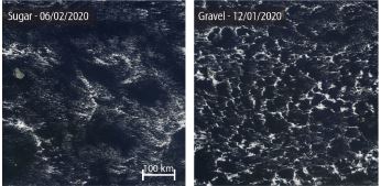
Shallow cumulus clouds over the subtropical oceans are a major source of uncertainty in climate projections. These clouds display a wonderful array of spatial structures (Stevens et al., 2019) that
differently reflect solar radiation to space (Bony et al., 2020). Contained within these intricate structures is information on the large-scale environmental conditions of the atmosphere.
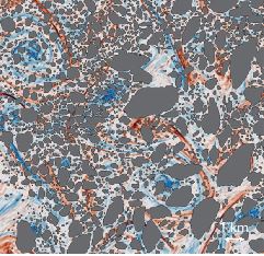
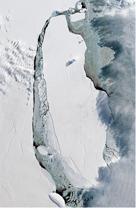
Sea ice breakage and melt due to ocean turbulence
Sea ice is one of the most rapidly changing components of the climate system. The margins of the pack are very sensitive to these changes because they are subject to strong forcings from the ocean. In these regions, sea ice consists of individual pieces called floes, which interact with ocean turbulence, leading to collisions, breakage and melt. These fascinating processes are unresolved by current climate models, and lead to biases in sea ice forecasts.
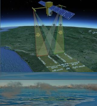
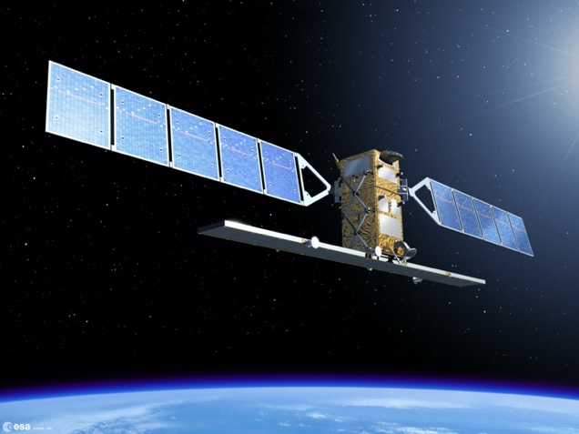
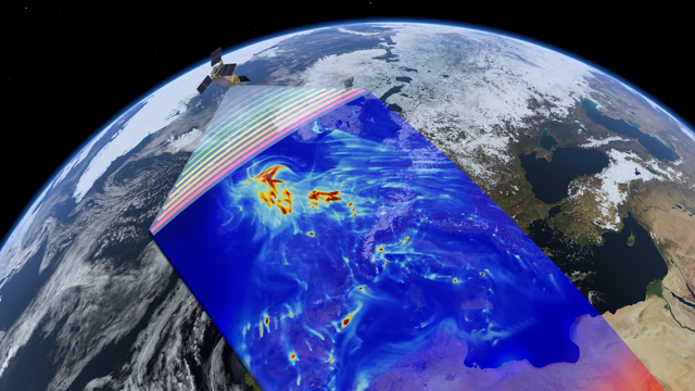
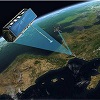
What can SWOT teach us about water level variability in the Wadden Sea?
With the launch of the first wide swath altimeter SWOT, a new era has begun for monitoring coastal water levels. The first results look phenomenal and show enormous potential to boost our understanding of coastal water level variability. For example, a number of researchers have used the data to create a tidal model for the Bristol Channel. Based on nadir altimetry

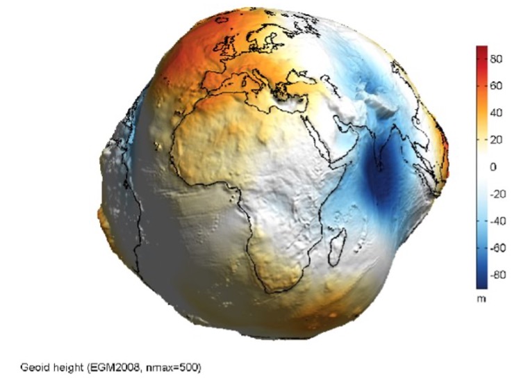
A global reference surface for depths
The lowest astronomical tide (LAT) has been adopted by the International Hydrographic Organization as the vertical reference surface for depths, i.e. the so called chart datum. Many countries have adopted this choice.

Mapping Dutch river level profiles from FFSAR & wide swath altimetry
With the advent of fully focused SAR (FFSAR) processing and the launch of the first wide swath altimeter SWOT, a new era has begun for monitoring river water levels and discharge based on remote
sensing techniques.
Flying drones in large-eddy simulations & optimizing measurement strategies
Large-eddy simulations (LES) have proven to be invaluable tools for simulating various atmospheric processes, particularly those occurring within the boundary layer.
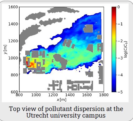
Municipality of Utrecht bans open fires: wood burning impacts on local air quality
Investigate the dispersion of pollutants at the local neighbourhood scale emitted by wood-burning, using high-resolution modelling.

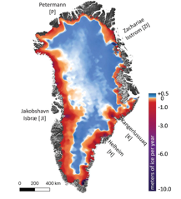
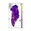
Separation of mechanisms of ice mass losses in Greenland with a constrained spatio-temporal inversion of GRACE data
The Greenland Ice Sheet (GrIS) contains enough ice to raise the global sea level by about 7 meters and has been a major contributor to global sea level rise in recent decades. As such, ongoing ice mas losses in Greenland attract a close attention of climatologists.
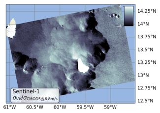
Characterization of the Marine Atmospheric Boundary Layer using wide-swath SAR imagery
Synthetic Aperture Radar (SAR) provides all-weather monitoring of the ocean surface roughness with an effective resolution (after speckle filtering) in the order of 100 m.
Wave-age dependence of SAR backscatter
Wind speed and direction have been estimated from spaceborne scatterometry for more than two decades. Scatterometers observe backscatter from three lines-of-sight as a proxy for the directional surface stress, or short-wavelength surface roughness.
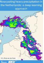
Deep Rain: Deep learning techniques for rainfall nowcasting
In a world where accurate and timely weather predictions are paramount, AI is slowly revolutionizing the way rainfall forecasts are made.
Microphysics of extreme rain: What controls drop size distributions during heavy rain?
Raindrop size distributions (DSDs) are crucial for understanding the microphysics of rain.
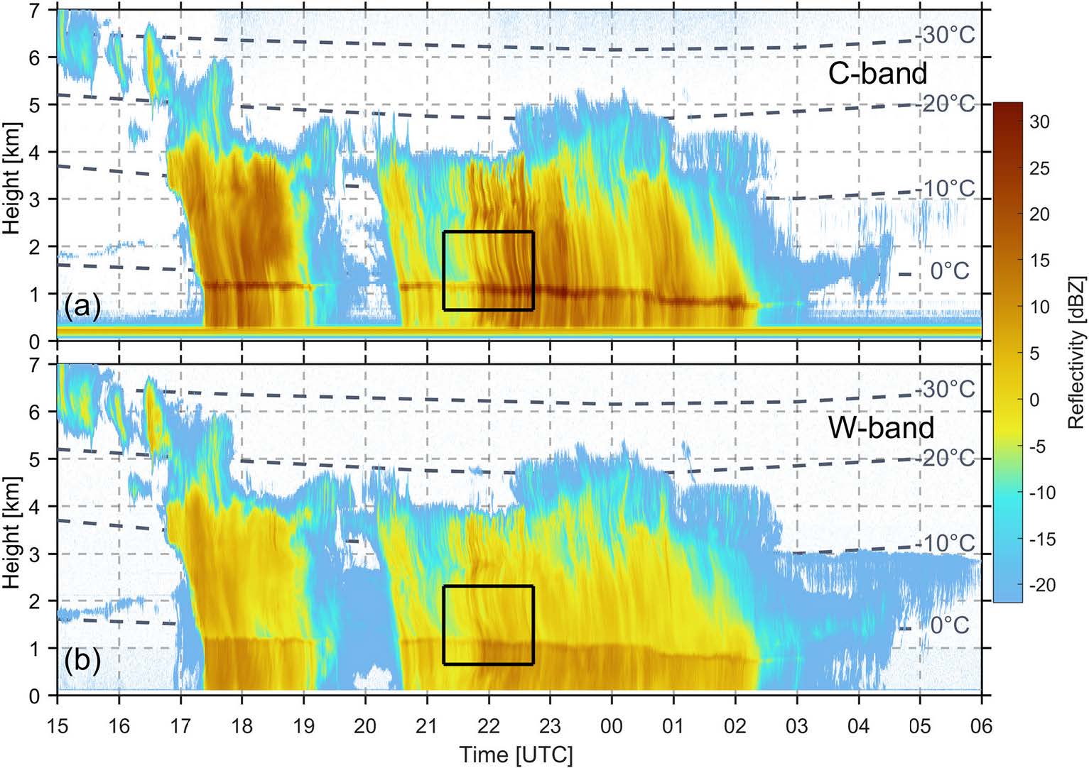
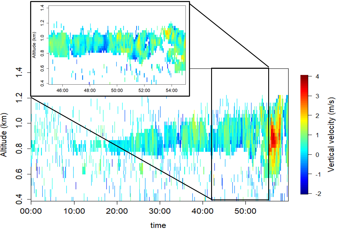
Drop size distribution retrievals from vertically pointing radars
Raindrop size distributions (DSDs) are crucial for understanding the microphysics of rain. Between the moment raindrops are released from clouds
and the moment they hit the ground, a lot can happen.
How does rain influence air quality?
Our current understanding of how rain helps clean the air by removing small particles and pollutants still remains limited.
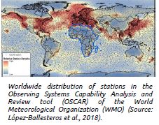
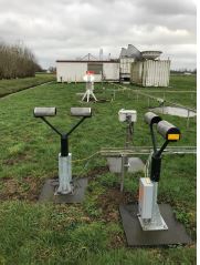
The value of citizen weather observations
Citizen weather observations are valuable for scientific research because they provide a dense and widespread network of data points that can fill gaps in professional networks, especially in remote or less densely populated areas.
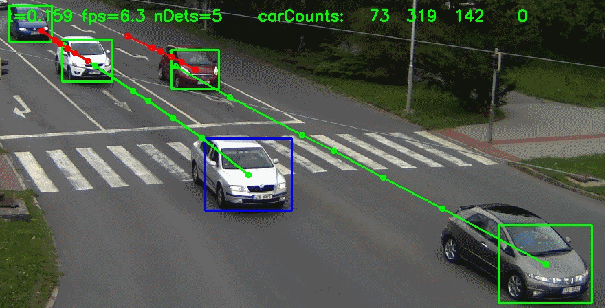
Reinforcement learning techniques for adaptive, collaborative radar networks
Weather radars are essential tools to study the atmosphere, monitor threats, and issue early warnings for high impact events.

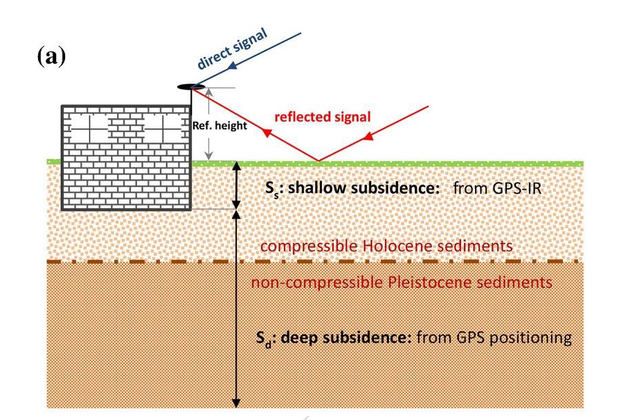
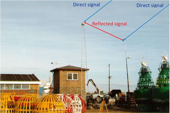
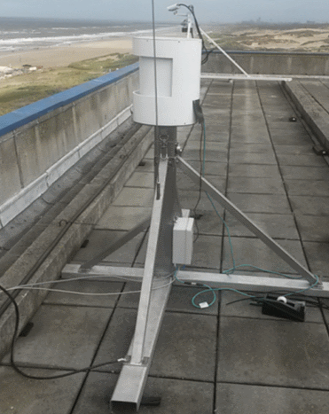
GPS Interferometric Reflectometry and land subsidence
The project will be executed at TNO AGE and GM in collaboration with and supervised by TU Delft Geoscience and Remote Sensing research group.
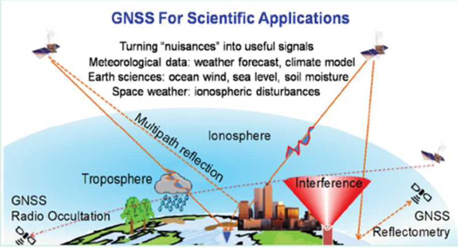
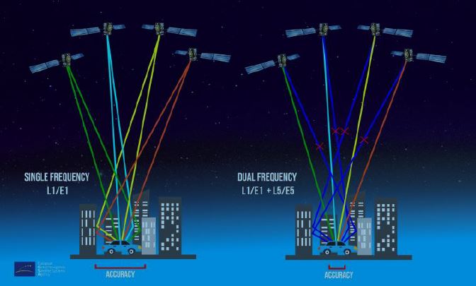
GNSS Remote Sensing
Several topics in the field of GNSS Remote Sensing are available. The exact scope can be defined in consultation with Sandra Verhagen and Andreas Krietemeyer (KNMI)


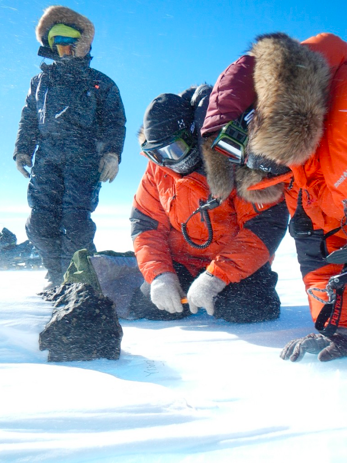
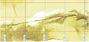
Estimating kinematic parameters of the seafloor using bathymetric data
By analysing a series of bathymetric surveys, the goal is to design an appropriate statistical testing procedure to investigate which alternative mathematical model best represents the seafloor by testing which alternative fits best.
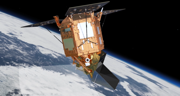
Application of SAR Interferometry to high resolution glacier velocity mapping
Keeping track of polar ice mass-balances is one of the keys to understanding climate change. One important process is ice discharge from outlet glaciers. You will explore (and push) the limits of observational capabilities by applying InSAR processing techniques to monitor flow velocities of glaciers.
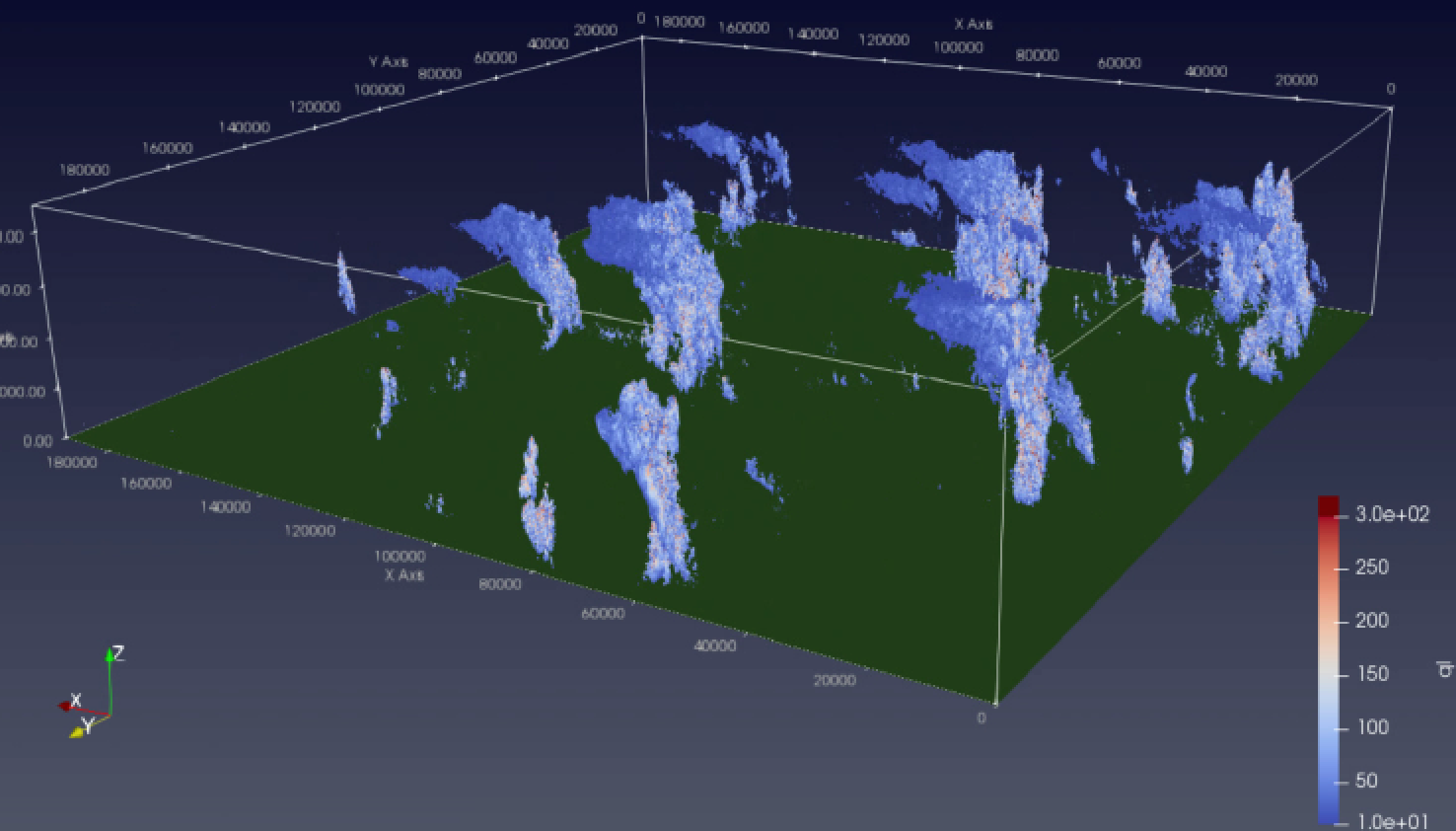
SAR Tomography using pairs of crossing-track interferometric acquisitions
One of the most unique capabilities of remote sensing using Synthetic Aperture Radar is imaging the vertical structure of semi-transparent media such as forest canopies or ice. Sounds interesting? In this MS thesis we (you) will use a unique airborne Synthetic Aperture Radar data set to study how well this may be done with future satellite missions.
Raindrop size distribution: still a challenge!
Raindrop size distribution refers to how many raindrops of size D are present in 1 m3. It is still a challenge to retrieve this information at different altitudes, and it is needed to accurately estimate rainfall rate for weather radars. You will use radar and disdrometer data to advance the retrieval capacities.
Modelling of mass transport in the Earth’s system
The main objective is to further develop the GRACE data processing technique based on the so-called "mascon approach", with a particular focus on long-term trends in mass transport.
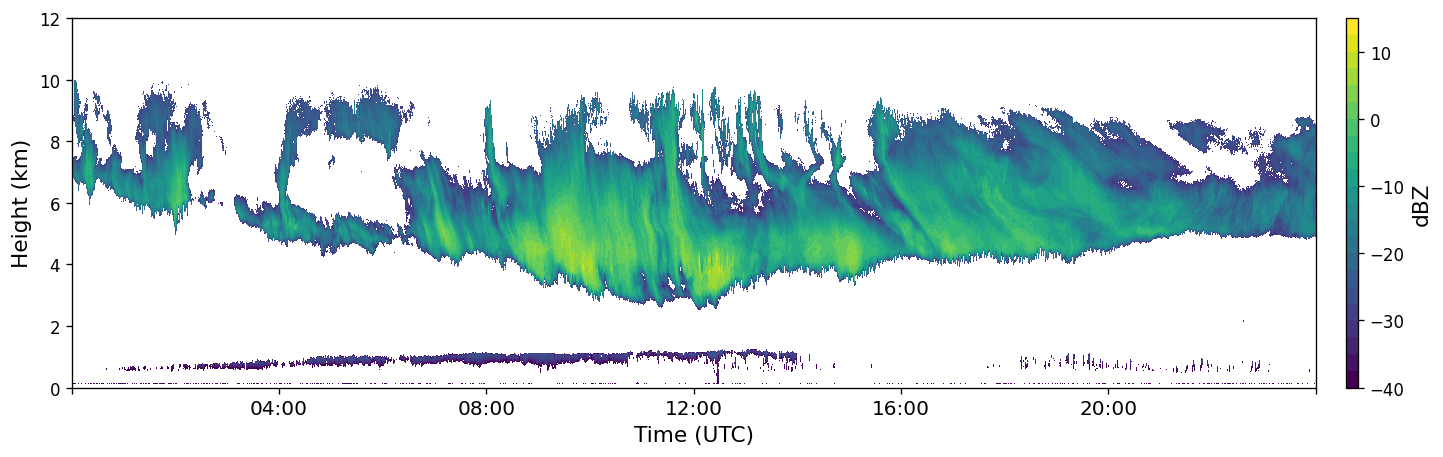
How is rain formed?
In this study, you will analyse the growth process of ice crystals by analysing the details of signals coming from different weather radars: Do they change as function of height? and What is the relation with rainfall at the ground?
No dust, no clouds
In this study, you will analyse the correlation between dust (so-called aerosols) in the atmosphere and cloud properties. The instruments you will use are the cloud radars of the KNMI and TU Delft and an instrument call ‘lidar’.

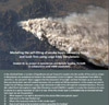
Automated recognition and extraction of geological features from Drone imagery
In this study, we would like to benefit from 3D scene generation, local characteristic feature and robust descriptor extraction, recognition and classification of natural fracture patterns.
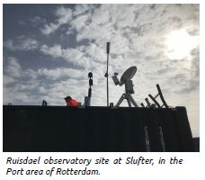
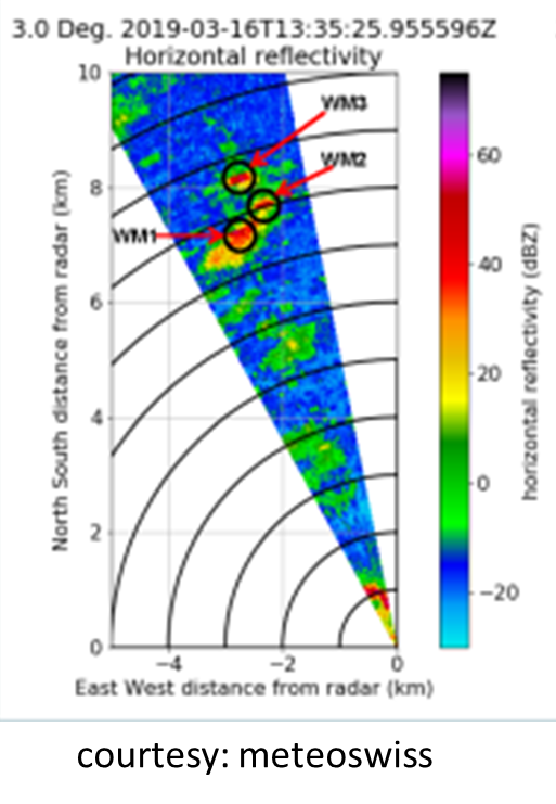
Using drones for weather radar calibration
The aim is to develop a weather radar calibration technique using drones. If successful, such calibration will be carried out on a yearly basis at Cabauw.
The utilization of shipboard GNSS data
The primary objective of this research is to assess the added value of shipboard GNSS data for geoid computations and storm surge model validation/calibration.
Modelling the self-lifting of smoke layers caused by forest and bush fires using Large Eddy Simulations
Objective is to find an answer to the "burning" question whether we can believe that the self-lifting could be responsible for the occurrence of smoke layers at altitudes of up to 16 km.

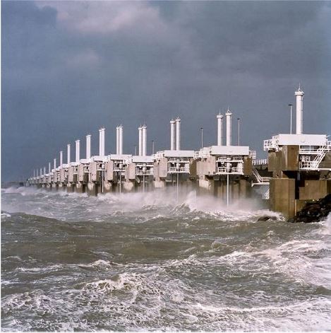
Assessment of flooding scenarios: impact of dynamic elevation models
Objective: Determine the influence of dynamic (time variable) elevation models to improve the quality of flooding scenarios. (MSc topic in collaboration with Water Resources Management)
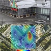
Predicting structural disasters: the Heerlen shopping mall disaster
Objective: Determine the opportunities of using remote sensing data to predict structural failure. (MSc topic in collaboration with Building Engineering)
Analysis of urban flood events from radar satellite images
Objective: Can we use satellite radar images to detect urban flood events. (MSc topic in collaboration with Water Resources Management)

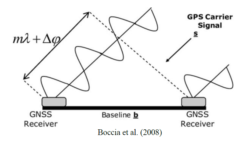
GPS for advanced vehicle applications
The aim is to investigate the system workings of modern GPS receivers in order to estimate the potential for application in vehicles, including between-vehicle communication.
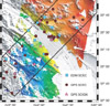
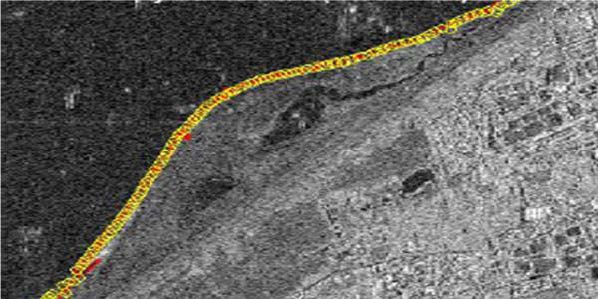
Imaging interseismic motion on the San Andreas fault with spaceborne radar
The goal of this project will be to develop this technique and use it to extract interseismic motion associated with north‐south sections of the San Andreas fault in California.