Management of historical geodetic instruments ensured at TU Delft
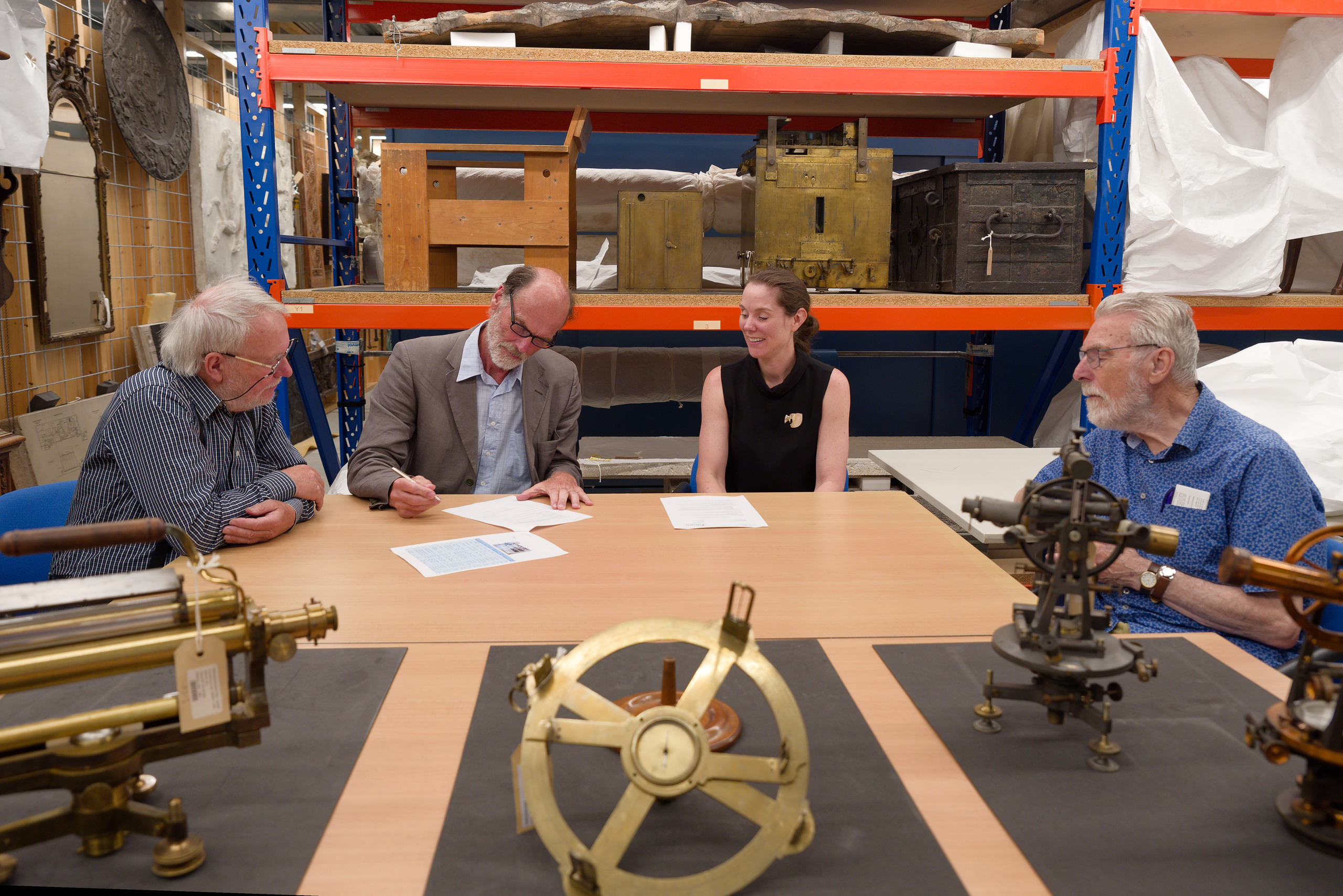
The historical geodetic instruments, which have been on display on the first floor of the Faculty of Civil Engineering and Geosciences for nearly 20 years, will have a new custodian. On June 30, 2023, Stichting De Hollandse Cirkel officially transferred the management to the Museum Collection of TU Delft Library. This marks an important milestone in preserving the geodetic heritage of Delft University of Technology.
Stichting De Hollandse Cirkel, an organization focused on promoting interest in the history of geodesy, has taken responsibility for managing the impressive collection of approximately 50 geodetic instruments all these years. These instruments, including spirit levels, theodolites, and computational aids, provide insights into geodetic education and research at TU Delft from 1948 to the 1980s. They were used by students and researchers and hold significant historical value.
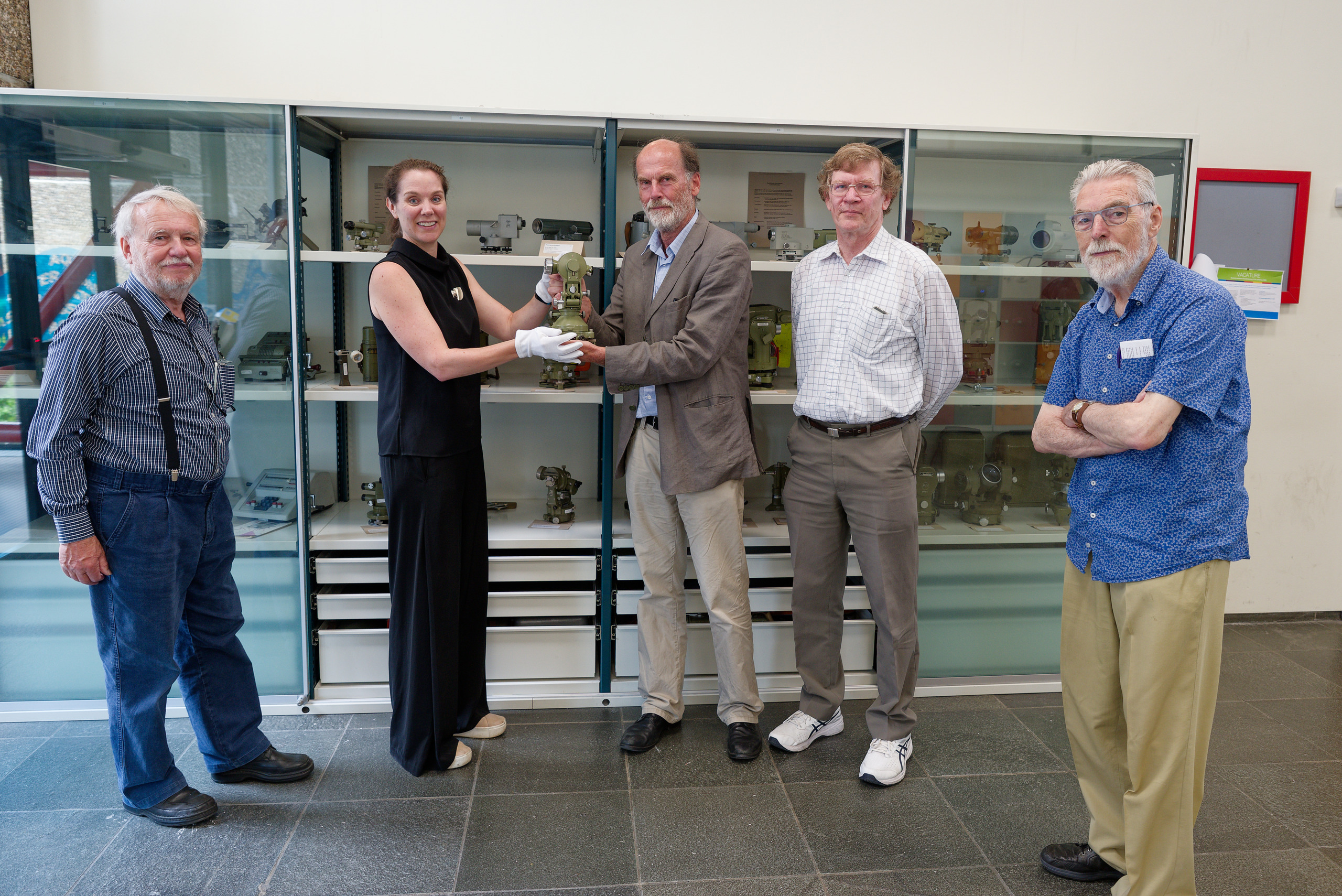
With the transfer to the Museum Collection of TU Delft Library, the management of these valuable geodetic instruments is now in the hands of the university itself. The Museum Collection already contains over 6,500 objects connected to the institutional history, research, and education at the university. The geodetic instruments are a valuable addition to this collection.
Geodesy, the field of study that deals with the shape and positioning of the Earth and the provision of geographic information, has always played a prominent role at TU Delft. Geodesy became a full-fledged five-year program for geodetic engineers at the university starting in 1948. Although the discipline is still part of TU Delft, the program ended in 2003. The geodetic instruments remain tangible reminders of this period and their contribution to scientific research.
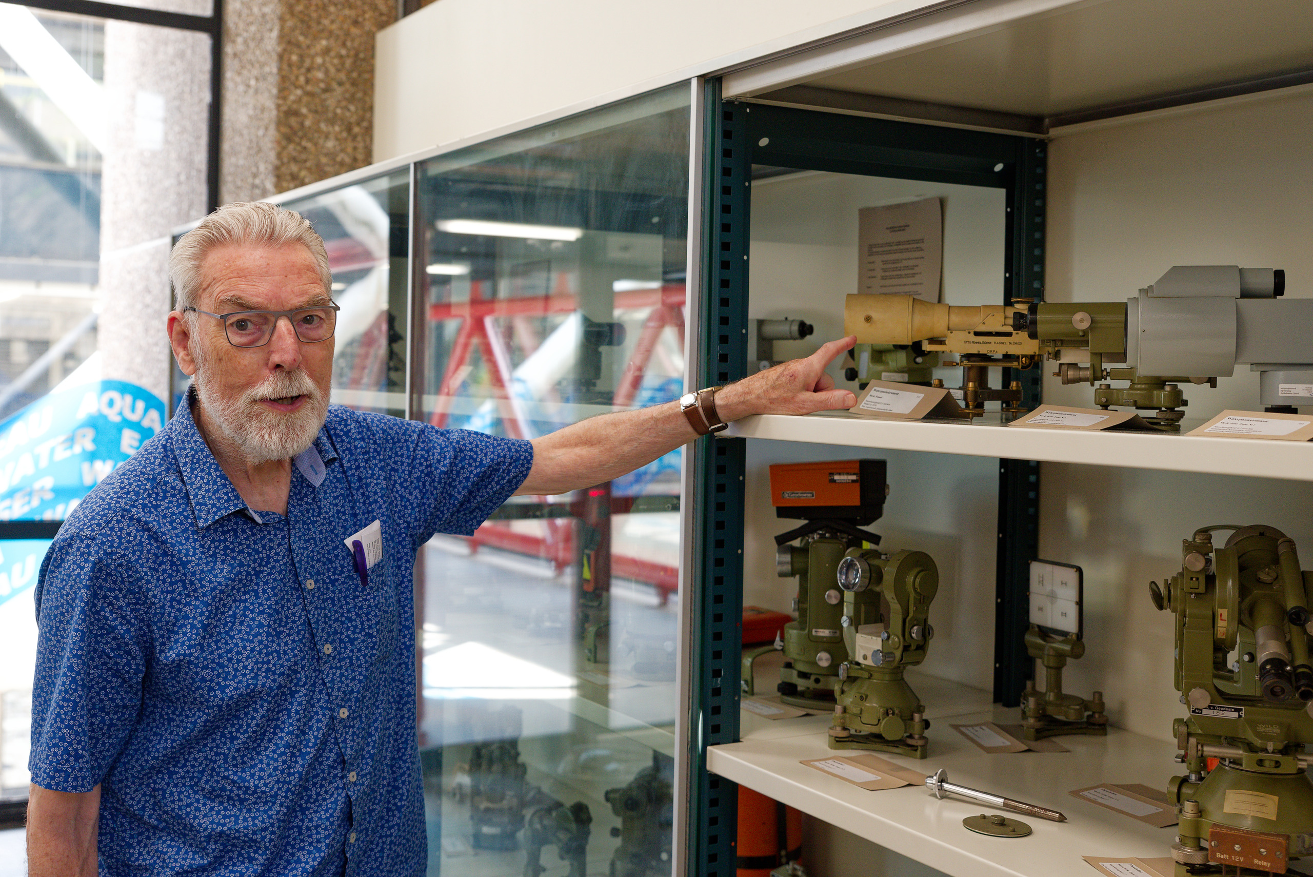
The instruments were not only used within the Geodesy department but also in courses offered by other faculties such as Architecture, Mining Engineering, and Civil Engineering (now known as Civil Engineering and Geosciences). They were essential for surveying roads, buildings, mines, and property boundaries, and were used for complex calculations such as coordinates, heights, and areas.
During the transfer, the Mathematical Geodesy and Point Determination section, part of the Faculty of Civil Engineering and Geosciences, also played an important role. This section, along with Stichting De Hollandse Cirkel, possesses valuable knowledge about the historical instruments. Through collaboration, the instruments are being documented and described, thereby preserving their historical and educational value.
Students, researchers, and enthusiasts can still admire and study this unique collection, experiencing a tangible piece of geodesy history at TU Delft.