Camille Morlighem
Automatic reconstruction of 3D city models from historical maps
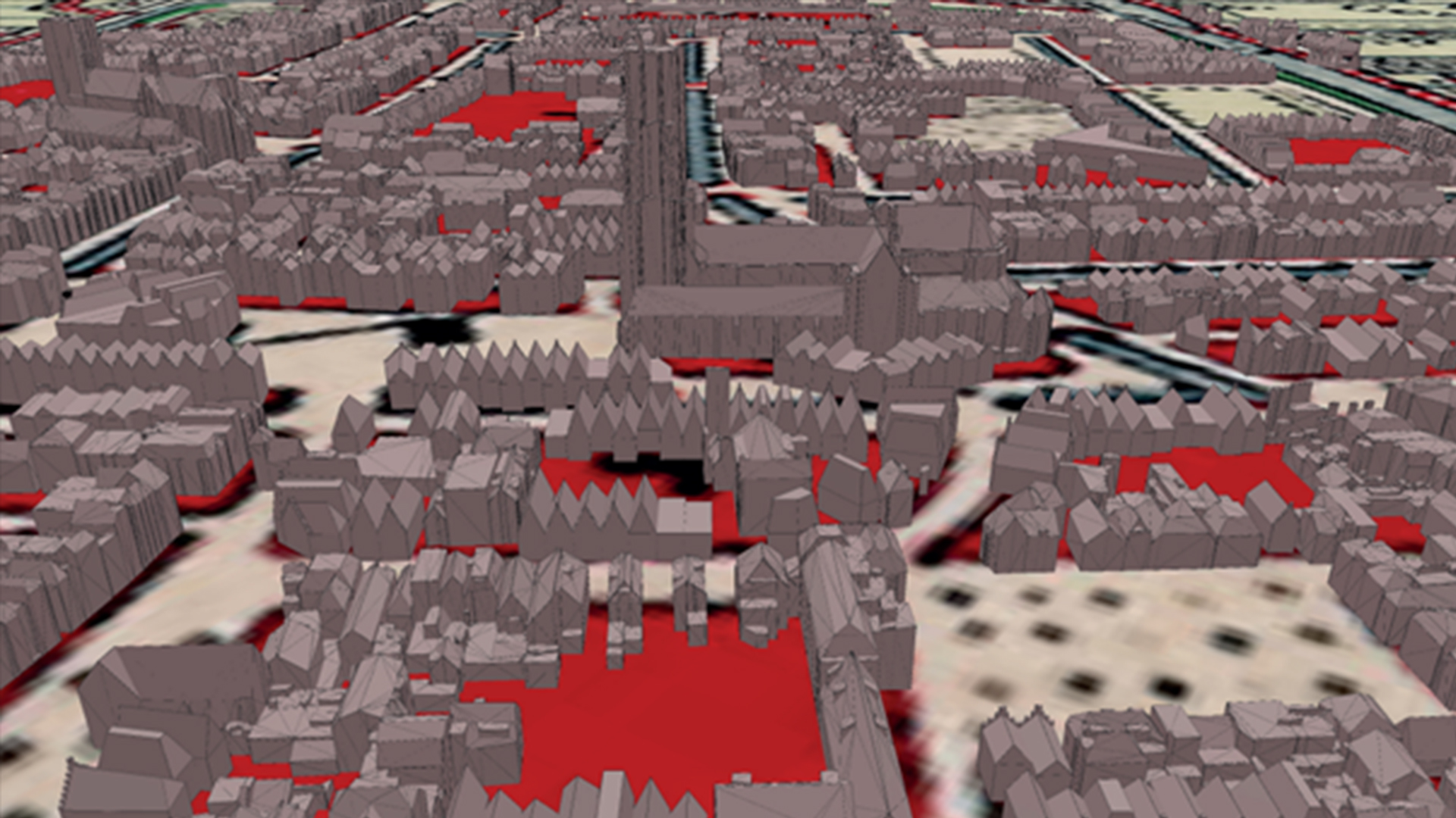
Historical 3D city models have been increasingly used for the preservation and communication of the cultural heritage to a wider and more diversified public. Historical 3D city models can only be reconstructed from historical sources, such as historical maps. As a result, reconstructing historical 3D city models is a challenging process that is to date still essentially manual and time-consuming. This thesis investigates to what extent the reconstruction of historical 3D city models can be automated. Several existing methods for extracting building footprints from historical maps have been tested and compared. Based on these experiments a fully automated methodology was developed. It relies on three main stages: (1) the processing of the historical maps to extract the building plots, (2) the subdivision of these building plots into individual building footprints and (3) the reconstruction of a LoD2 historical 3D city model using 3D procedural modelling.
More information
- Master thesis 'Automatic reconstruction of 3D city models from historical maps'