Georeferencing Historic Map Series An Automated Approach
Eirini Tsipa, Giorgos Iliopoulos, Oliver Post, Rianne Aalders
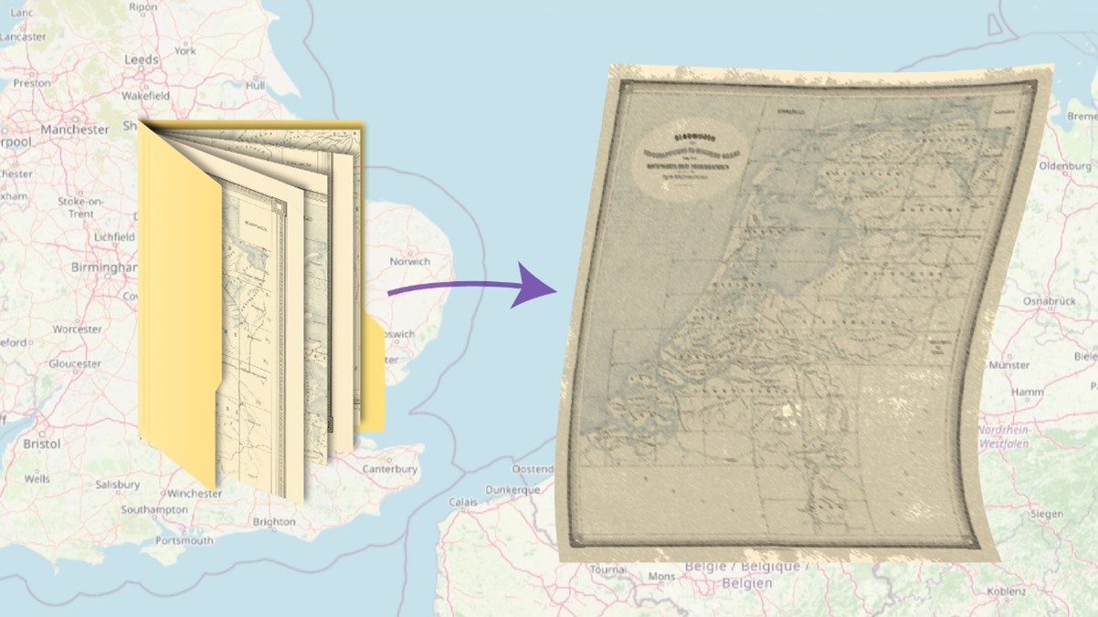
In collaboration with Allmaps, an open-source platform for the viewing and georeferencing of historic maps, our team aims to automate the process of georeferencing historic map series from the Dutch National Archive. Georeferencing increases the usability and value of digitised maps by adding geospatial information. This process is labour-intensive and time-consuming when done manually, as map series can consist of hundreds to thousands of individual sheets. Automating this process will increase the availability and usability of historical maps, for free and without restrictions, as a tool for research, education, and anyone with a general interest. Our approach will include the use of our Cartography background, Geodesy knowledge, digital processing, and literature review. The final goals of this project and our collaboration are to make the supplied map series available on the Allmaps online platform and to develop a method adaptable to other institutions or projects.
More information
- Synthesis project: "Georeferencing Historic Map Series: An Automated Approach"