Programme
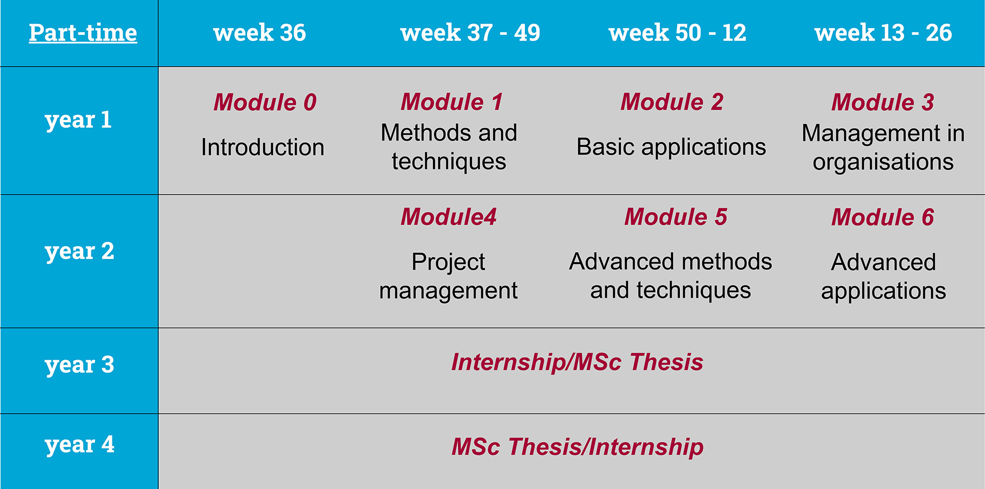
GIMA is a Master’s programme taught in English that may be followed full-time (2 years) or part-time (4 years). The study programme includes both taught courses, an internship and research awarding a total of 120 points in the European Credit Transfer System (ECTS).
Curriculum
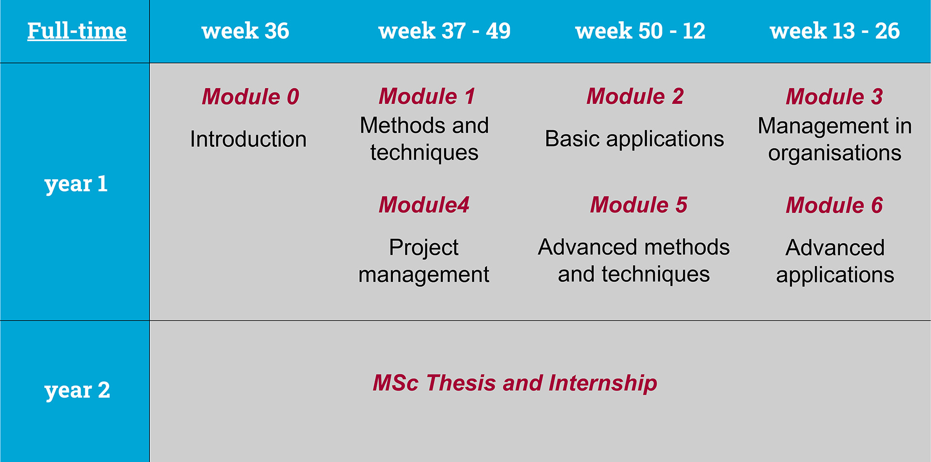
The GIMA programme is a two-year programme, and is offered as blended learning organised in three trimesters. At the beginning of each module there are 3 contact days in which the lectures are being held and the assignments explained. After that there is a period of distance learning of 11 weeks. In between, you work from your home or office. The interactivity is guaranteed by the use of electronic communication (e-learning environment) by which you regularly interact with your teachers and fellow students. At the end of the module there are two examination days at one of the four universities. You will spend the second year of the programme on your own Master’s thesis research project and an internship. The contact days at the start of the year are in Enschede (September), this is followed by contact days during the year in Utrecht (December) and Wageningen (March) and finally the contact days at the end of year are in Delft (June).
The GIMA programme offers the possibility to specialise during the 30 ECTS thesis research project and 30 ECTS internship. Students with more than 3 years of relevant experience in a geo-information organisation may be exempted from the internship.
Why this programme?
Why this programme?
- Benefit from a joint degree that gives you the best of 4 partner universities.
- Blended learning concept - between the contact periods when you are physically present at each of the partner university you study from the place where you think you can study best (e.g. home, library or at the campus). This gives a lot of flexibility of how you organize your study and combine it with another side activities.
- The unique aspect of the program is its focus, not only on the concepts and applications of geo-information science but also on the management of spatial data infrastructures and projects related to geo-information applications.