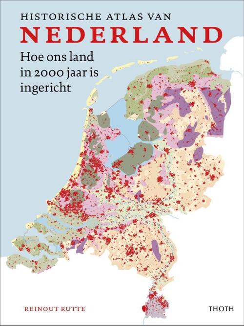
In addition to the map collection the Map Room features a large collection of atlases. Historical and recent topograhical atlases, thematical atlases as soil, water and energy, various atlases of dutch cities and all the editions of the released Bosatlases. And of course atlases like the "Polderatlas of the Netherlands" and "Atlas of the dutch urban landscape" all manufactured within the TUDelft campus are part of this collection!
For the original old prints from before 1900 you can visit the Trésor (special collections) of the TU Delft Library. Surveying works such as the " ‘Practijck des Lantmetens’ (The Practice of Surveying) by Sems and Dou (1600) journals, prints, photographs and historical maps are all to find in this collection. Maps such as the "Delflant kaart" by Nicolaes en Jacob Kruikius from 1712 are available to see and inspect by appointment.
Click here for special collections, Trésor.


