Allmaps makes it easier to find old maps and use them in research
News
-
25 January 2024
Making digitised collections of old maps more usable for research and students is the mission of Jules Schoonman, digital curator at TU Delft Library. Together with Bert Spaan, he developed Allmaps, software which makes it easier to find, view, georeference, and reuse digitised maps, in exhibitions for example. Jules now teaches students how to use Allmaps, and students are exploring with him if they can teach Allmaps to georeference automatically. What are the possibilities of Allmaps?
Back when Jules himself was studying Architecture, it was difficult to get high-resolution images of documents in the archives, such as old maps. 'You had to pay for the scans and were restricted in using the images for your own publication. I thought that wasn’t right at all, because when an architect designs a building, it’s useful to know the history of a place.'
'Now that I’m working at TU Delft Library, I’ve made it my mission to ensure that digital collections of archives and libraries are more accessible and usable for teaching, research, and exhibitions.'
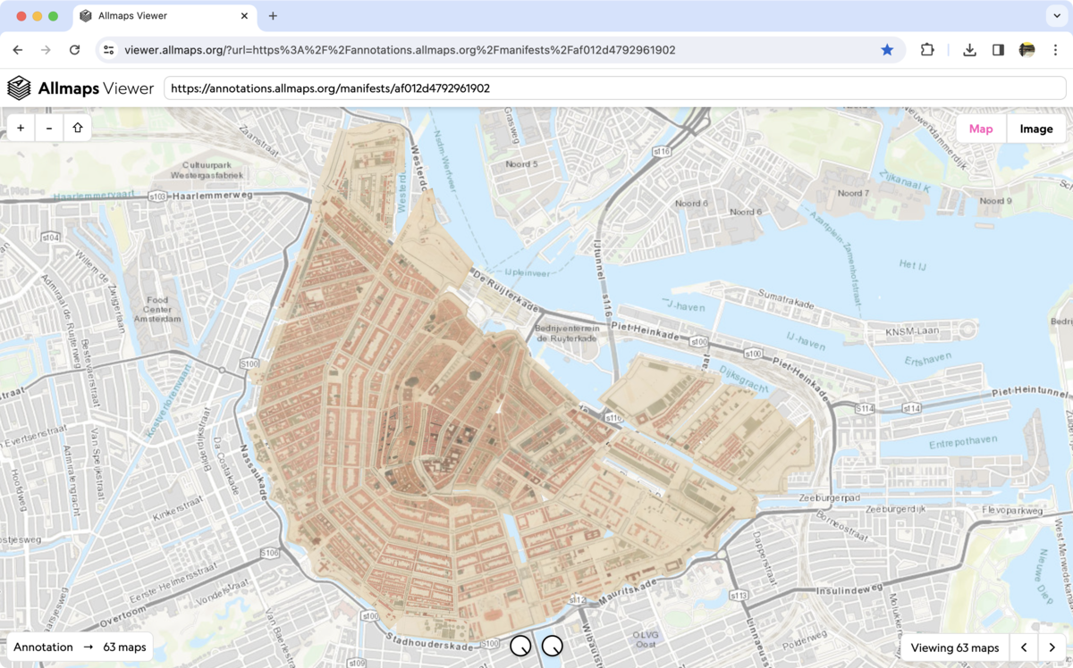
Loading images from the source
These days, most of the old maps in libraries and archives have been digitised. However, doing anything more than viewing the images via the institution's website was frequently impossible until recently. Fortunately, a growing number of institutions around the world are now using the International Image Interoperability Framework (IIIF), a set of open standards for sharing AV material. Each IIIF image is assigned a 'manifest', which contains the technical specifications and metadata. Jules: 'Images with a IIIF manifest can be loaded directly from the source and opened with various open-source software tools, such as Allmaps. If you want to include a IIIF image in an exhibition on your website, you don't have to copy the image, you just have to link it to the manifest's permanent URL. That means you always have a direct link to the source material.'
View maps side by side and superimposed
Jules and Bert received a grant to expand the possibilities of Allmaps from the Pica Foundation's programme 'Connected digital heritage’. This has led to improvements in the Allmaps Viewer. ‘Now several maps can be loaded at once and placed side by side or on top of each other.'
Georeferencing with ease
Before digitised maps can be shown in the Allmaps Viewer, the IIIF images have to be georeferenced. This is an easy task, thanks to the Allmaps Editor. Georeferencing involves superimposing an old map as best you can on a modern map of the same area. You indicate the positions of some control points on the old map and on the modern map. Jules: 'You transform the image of the old map to fit the modern map. This results in a new image that has to be saved again somewhere. That means if you georeference a lot of maps, you have to store a lot of images, which in turn requires storage space and management.'
Georeference Annotations requires less storage space
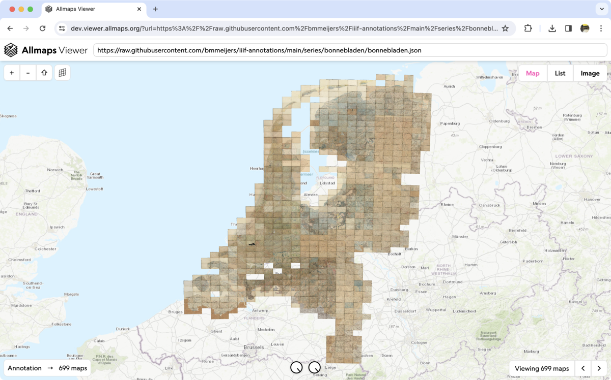
In the Allmaps Editor, these new images no longer have to be saved. Instead, a Georeference Annotation is created, Jules explains. ‘This is a file referencing the IIIF image, in which the data of the map cutout and control points of the georeferenced map are stored. When the image is loaded, we transform it as needed in the browser. Those annotation files take up much less storage space. Georeferencing old maps reveals how countries, landscapes, and cities have changed. This is very valuable for geographical, historical, and climate research, to give just a few examples. Allmaps allows you to load infinite numbers of IIIF maps.'
All major national libraries and many archives use IIIF. These institutions can use Allmaps' tools free of charge, as they have an open licence.
―
Jules Schoonman
Old maps easier to find
A big advantage of Allmaps is that georeferencing makes maps easier to find, says Jules. 'The Dutch National Archives (NA) has an incredible treasure trove of maps, but try finding them! At the moment, you can only search using keywords, but many streets, cities, and territories in the former colonies have been renamed. Once these NA maps are georeferenced, we can create an interface that lets you zoom in on a particular spot and discover all the relevant maps. We’re in talks with the Dutch National Archives on developing this together.'
Students georeferencing river maps
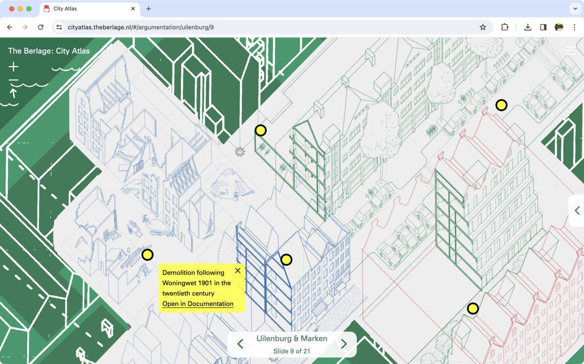
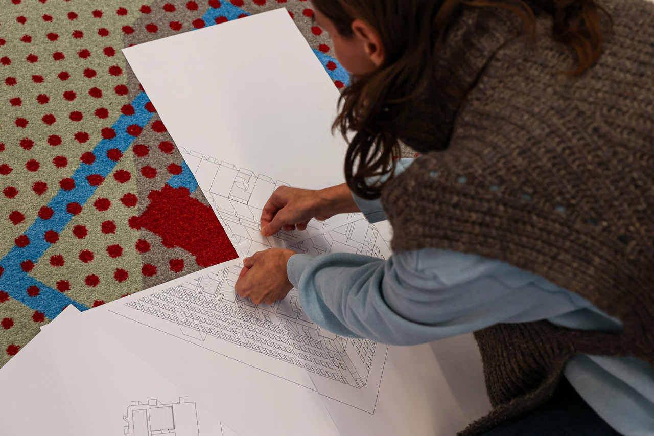
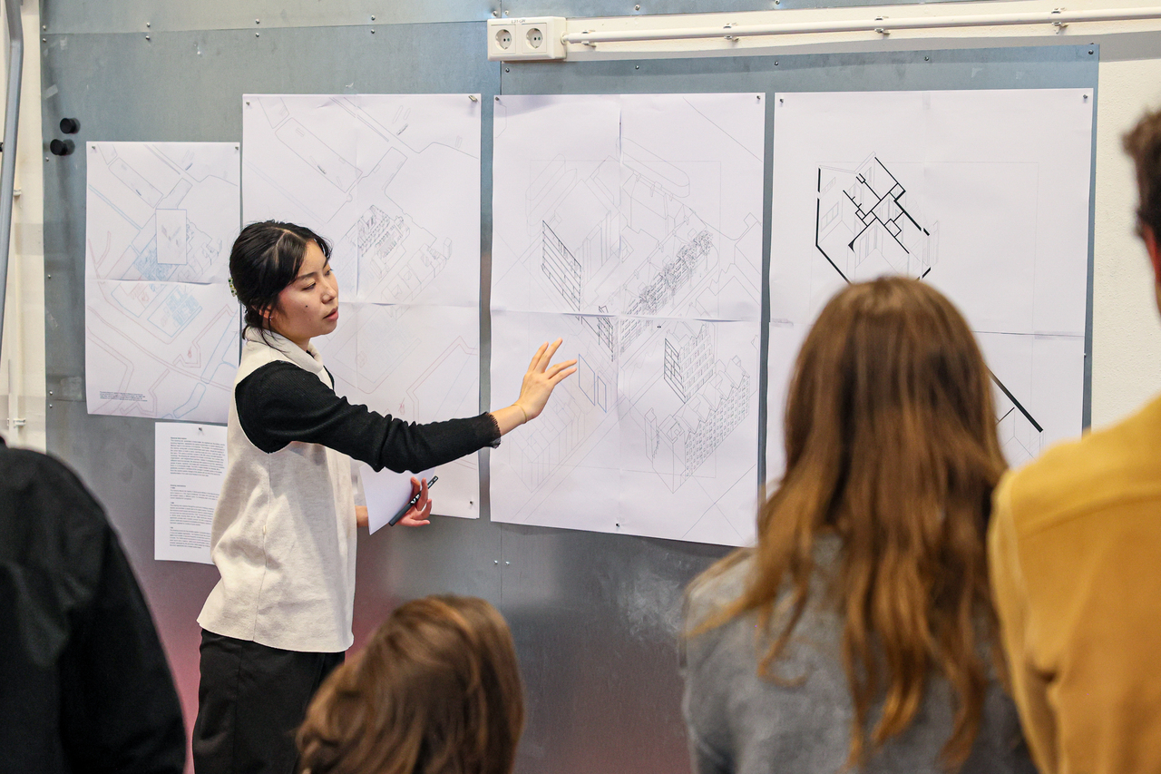
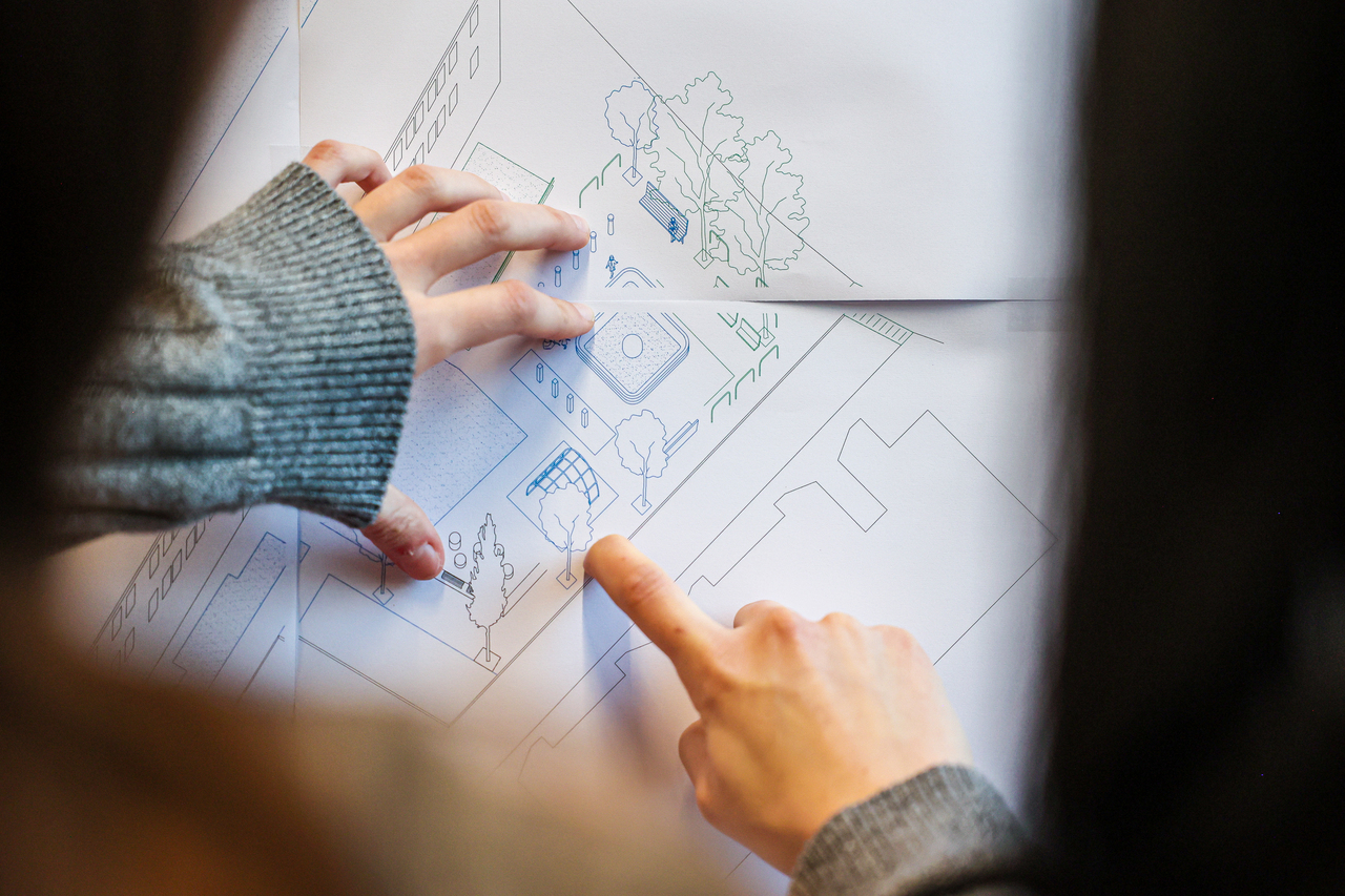
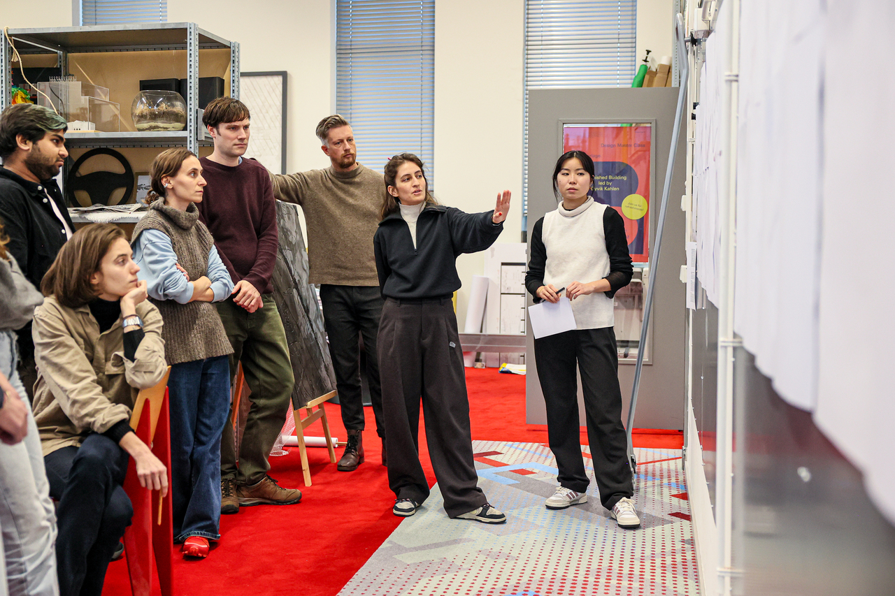
Jules believes it’s important to introduce students to the potential of Allmaps for archival research, so he presented the tools to two educational projects at TU Delft. ‘Post-master's students at the Berlage Centre for Advanced Studies in Architecture and Urban Design used Allmaps to georeference river maps in fall 2022. They also designed fictional maps, and used them to create an online and physical exhibition: River Atlas.’ This year, Jules is working with the Berlage students on georeferencing and annotating Amsterdam map collections, resulting in the City Atlas. 'They’re also creating an exhibition [planned for February 2024], for which they’re designing new, georeferenced maps. Students are therefore exploring how they can use Allmaps in their design process.'
Georeferencing different maps is like fitting puzzle pieces
- Students The Berlage
Automatic georeferencing
Jules worked with students and lecturers from the master's degree in Geomatics on investigating the possibility of automatically georeferencing map series from the Dutch National Archives, such as the more than ‘700 bonnebladen’, (old maps of the Netherlands from 1865-1930) with Allmaps. 'Manual georeferencing is a time-consuming task. If we can teach Allmaps to georeference automatically, we can unlock a lot more maps, and make them usable for teaching and research!'
Jules Schoonman
Digital Curator, Academisch Erfgoed Team, TU Delft Library
The 'Berlage' students are enthusiastic about georeferencing with Allmaps. They learnt in which ways juxtaposing layers of time can reveal new information for site research. Allmaps also helps the students in their design process. 'We can easily shift between drawings at multiple scales, from viewing historical urban plans to quickly zooming in on details of a building. Georeferencing different maps is like fitting puzzle pieces, where maps interact with others to generate a comprehensive vision of a site. Allmaps layers provide data about city planning, geography, and cultural changes. This becomes a useful point of departure that can be further explored with other resources found in municipal archives. Furthermore, Allmaps aids in design efforts by integrating drawings with maps to enhance storytelling.'
Exhibition City Atlas January 30 – February 15
TU DELFT, FACULTY OF ARCHITECTURE AND THE BUILT ENVIRONMENT
The exhibition City Atlas explores six emblematic sites of urban transformation in Amsterdam from the late-sixteenth century to the present, from the adaptation or renovation of buildings and blocks to the demolition and reconstruction of whole streets and neighborhoods. City Atlas will be exhibited in the Department of Architecture corridor, located on the first floor of the eastern wing of the TU Delft’s Faculty of Architecture and the Built Environment, from Tuesday, January 30 to Thursday, February 15.
The work is developed in collaboration with TU Delft Library and Allmaps.