Adaptive capacity coastal flooding
Improve adaptive capacity coastal flooding
Climate change is one of the biggest issues of the 21st century and impacts different parts of the world to a different extent. Developing countries especially are vulnerable and need help to increase their capacity to cope, adapt or recover from certain natural hazards.
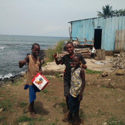
São Tomé
São Tomé is a small island near Gabon, with an increasing risk of coastal flooding. It is important for the local coastal community to know how high the water is going to be in case of an imminent flooding, so that all parties can take appropriate action. In order to achieve this, Martine Rottink developed a model for calculating the expected water level and a communication tool in order for the different parties involved to be able to receive all relevant information in time and to interpret it properly.
Integration
Martine Rottink focused both on the technical and the communication aspect of coastal flooding in her research. She developed a new hydraulic model to calculate the expected flood extent and height linked to forecasts for the coming days. Also she mapped out the social system for the island of São Tomé.
Increased adaptive capacity
The social system map resulted in an overview of the different parties involved in coastal flood events, their information needs and expertise, and the communication means they have available. This overview was subsequently used to design a communication tool, based on the hydraulic model, in which relevant data is immediately available to the different parties. Visualizations make it possible for the less literate users to interpret the information. The tool can be incorporated into the daily practice of São Tomé and increases its adaptive capacity to coastal flood events. The method can be used in other Small Island Developing States as well.