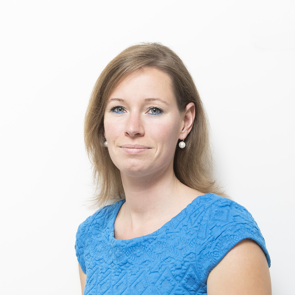
Sabine de Milliano

Name: Sabine de Milliano
Bachelor: Bachelor Earth Sciences, Utrecht University
I would highly recommend the MSc Geomatics programme to anyone who is interested in maps, data and IT.
After my bachelor in Earth Sciences, where I got introduced to the topics of remote sensing and GIS, I wanted to pursue my master in that direction with a more technical and practical focus. The MSc Geomatics at TU Delft was the perfect match for me, and I started the programme in 2006.
The courses provided me with a broad background in the acquisition, processing, and use of spatial data for numerous applications. I also really enjoyed the Synthesis Project, in which we worked as a team together with a client (GeoFort, in our case) to create both historical and up-to-date 3D models of the fortress island, and to prepare the conceptual design of a track & trace system.
After graduating from Geomatics in 2008, I started my career at Esri Nederland. My roles as a business consultant and product manager allowed me to gain experience on working with clients to solve problems, while also helping me build my network.
After a few years, I decided to continue working as an independent professional, helping geo & aerospace companies with technical communication challenges. This is a varied consultancy job, ranging from UX/UI development of spatial data applications to writing technical white papers. Next to this, I am a co-founder of 52impact, which translates satellite data and other spatial data to climate risk maps for corporates in the food & beverage and finance domains.
The knowledge base I have gained during my master has helped me greatly throughout my career. Thanks to my broad background in spatial data, I can quickly understand technical challenges in our field, and effectively bridge the gap between users and engineers. In addition, during our Geomatics Synthesis Project I learned techniques on defining product requirements, documenting technical information, and prioritizing actions. I still use all those skills in my daily tasks today.
I would really recommend the MSc Geomatics programme to anyone who is interested in maps, data and IT. Once you graduate, you will have many career opportunities in both business and scientific fields. In my opinion, starting your career in one of the well-known geo companies is always a good start, even if you prefer small companies/start-ups or the scientific domain. It helps you to gain hands-on experience in business life, as well as growing your network. Both will be very valuable for the rest of your career, regardless of the path you choose.