Architectural & Geo Informatics
The Architectural & Geo Informatics Research Group focuses on computational methods, techniques, and tools for sensing, understanding, modelling, designing, and fabricating the built environment at all scales.
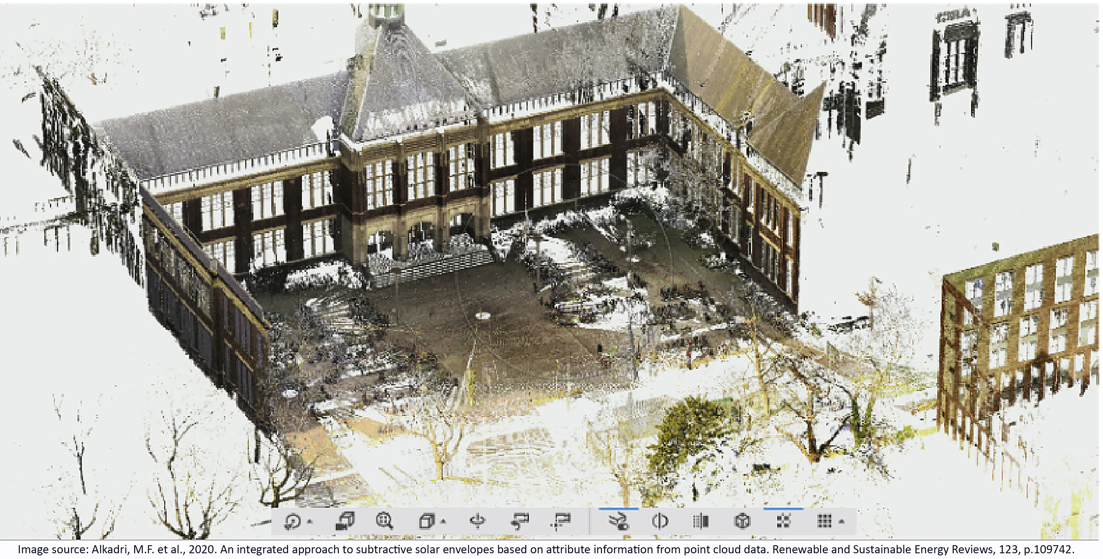
The built environment is a complex system of interrelated features, from physical properties to socio-cultural, environmental, and economic aspects. Computational methods, techniques and tools help to capture and understand such complexity to support designers and engineers, managers, governments, owners, and users, among others. The Architectural & Geo Informatics Research Group is hosted by the Digital Technologies Section at the Architectural Engineering + Technology Department of TU Delft. It addresses the challenge of complexity in the built environment by innovating and developing computational methods, techniques, and tools, and their utilisation from building components to urban scales and beyond. The Research Group leads the advancement of digitalisation for the built environment and is key partner for fostering digital innovation and computational science in architecture. The group consists of two chairs: Design Informatics (DI) and Geographic Information Systems technology (GISt). The DI clusters ’Integral Design & Engineering’ and ‘Generative Design & Sciences’ bridge aspects of informatics, architectural engineering, and spatial computation to enable performance-based design, and aim to achieve better performing buildings and built environments. The GISt clusters ‘nD Data & Land Administration’ and ‘Indoor Modelling & Navigation’ empower the geo-information infrastructure to solve complex problems in the built environment and have a mission of achieving better spatial data acquisition, management, analysis, and dissemination for a wide range of applications. Our methods and techniques include: Performance Assessment, Computational Design, Digital Manufacturing, Computational Optimisation, Computational Intelligence, nD Modelling and Visualisation, Computer-Aided Design, Spatial Computing, Building Information Modelling, Virtual Reality, Big Data, Digital Twins, Geographical Information Systems, Point Cloud Modelling, Web Cartography, Vario-scale Mapping, and Database Management Systems.
Peter van Oosterom
Members
Coordinator: Peter van Oosterom
Research staff:
- Alexsander Alberts Coelho
- Serdar Asut
- Christopher Bierach
- Vitali Diaz Mercado
- Friso Gouwetor
- Hans Hoogenboom
- Abdullah Kara
- Henry Kiksen
- Martijn Meijers
- Divyae Mittal
- Peter van Oosterom
- Wilco Quak
- Azarakhsh Rafiee
- Paul de Ruiter
- Sevil Sariyildiz
- Michela Turrin
- Edward Verbree
PhD candidates:


